Accessible Trails Near Scottsdale, AZ
Seventeen accessible trails near Scottsdale compared on length, surface, setting, restrooms and drive time, from the Bajada Nature Trail to Tempe Town Lake. Read our take
At a glance
| Option | Address | City | Trail Length | Surface | Setting | Restrooms | Drive Time From Scottsdale |
|---|---|---|---|---|---|---|---|
| 18333 N Thompson Peak Pkwy, Scottsdale, AZ 85255source | Scottsdalesource | 0.5source | Stabilized decomposed granitesource | Desert park or preservesource | Restrooms on sitesource | 27 | |
| 12601 N 124th St, Scottsdale, AZ 85259source | Scottsdalesource | 0.5source | Stabilized decomposed granitesource | Desert park or preservesource | Restrooms on sitesource | 27 | |
| 30301 N Alma School Pkwy, Scottsdale, AZ 85262source | Scottsdalesource | 0.4source | Stabilized decomposed granitesource | Desert park or preservesource | Restrooms on sitesource | 43 | |
| 13400 E Rio Verde Dr, Scottsdale, AZ 85262source | Scottsdalesource | 0.94source | Stabilized decomposed granitesource | Desert park or preservesource | Restrooms on sitesource | 40 | |
| 4201 N Hayden Rd, Scottsdale, AZ 85251source | Scottsdalesource | 11source | Paved or concretesource | Urban greenwaysource | 6 | ||
| 80 W Rio Salado Pkwy, Tempe, AZ 85281source | Tempesource | 7.5source | Paved or concretesource | Lake shoresource | 15 | ||
| 10608 N 7th St, Phoenix, AZ 85020source | Phoenixsource | 0.3source | Paved or concretesource | Desert park or preservesource | Restrooms on sitesource | 38 | |
| 10919 S Central Ave, Phoenix, AZ 85042source | Phoenixsource | 1source | Stabilized decomposed granitesource | Desert park or preservesource | 41 | ||
| 19226 N Tatum Blvd, Phoenix, AZ 85050source | Phoenixsource | 0.75source | Mixed paved and dirtsource | Desert park or preservesource | 31 | ||
| 1600 E Sonoran Desert Dr, Phoenix, AZ 85085source | Phoenixsource | 1.9source | Paved or concretesource | Desert park or preservesource | Vault toilets onlysource | 39 | |
| 625 N Galvin Pkwy, Phoenix, AZ 85008source | Phoenixsource | 2.7source | Mixed paved and dirtsource | Desert park or preservesource | 19 | ||
| 2439 S Central Ave, Phoenix, AZ 85004source | Phoenixsource | 3.7source | Paved or concretesource | River or wetlandsource | Restrooms on sitesource | 28 | |
| 1201 N Galvin Pkwy, Phoenix, AZ 85008source | Phoenixsource | Mixed paved and dirtsource | Botanical gardensource | Restrooms on sitesource | 12 | ||
| 3939 N Usery Pass Rd, Mesa, AZ 85207source | Mesasource | 0.9source | Hard-packed gravel or dirtsource | Desert park or preservesource | Restrooms on sitesource | 35 | |
| 2757 E Guadalupe Rd, Gilbert, AZ 85234source | Gilbertsource | Paved or concretesource | Lake shoresource | Restrooms on sitesource | 30 | ||
| 4050 E Chandler Heights Rd, Chandler, AZ 85249source | Chandlersource | 0.4source | Paved or concretesource | Lake shoresource | Restrooms on sitesource | 38 | |
| 6109 N Apache Trail, Apache Junction, AZ 85119source | Apache Junctionsource | 0.25source | Paved or concretesource | Desert park or preservesource | Restrooms on sitesource | 45 |


Our take
For a desert trail built for wheels close to Scottsdale, start with the Bajada Nature Trail at the Gateway Trailhead or the Kovach Family Nature Trail at Lost Dog Wash: each is a 0.5-mile loop of stabilized decomposed granite with restrooms at the trailhead, about 27 minutes away by car. For a long, smooth roll instead, the Indian Bend Wash Greenbelt Path gives you 11 miles of concrete six minutes from Scottsdale, and the Tempe Town Lake Path adds 7.5 paved miles 15 minutes away.
The real split in this table is surface and setting. The McDowell Sonoran Preserve loops, the Judith Tunell Accessible Trail at South Mountain and the Merkle Trail at Usery put you in open desert on firm granite or gravel, usually for a mile or less. The greenways, lake paths and the North Overbank Trail along the Rio Salado are paved and run for miles, but you share them with bikes and see more city than cactus.
Our picks
- Best first desert trail: Bajada Nature Trail (Gateway Trailhead). A 0.5-mile stabilized decomposed granite loop with restrooms on site, 27 minutes from Scottsdale.
- Longest smooth route: Indian Bend Wash Greenbelt Path. 11 miles of paved path through Scottsdale's parks, a 6-minute drive away.
- Longest granite desert loop: Judith Tunell Accessible Trail (South Mountain Park). 1 mile of stabilized decomposed granite in two half-mile loops at South Mountain.
- Most services on hand: Desert Botanical Garden Trails. Restrooms on site and mixed paved and hard-packed garden trails, 12 minutes from Scottsdale.
- Mountain views on pavement: Native Plant Trail (Lost Dutchman State Park). A paved 0.25-mile loop beside the visitor center under the Superstition Mountains, 45 minutes out.
Paved paths or desert granite
Eight trails here are fully paved or concrete, and they split into two kinds. The Indian Bend Wash Greenbelt Path, the Tempe Town Lake Path, the North Overbank Trail and the East Skip Rimsza Paseo run 1.9 to 11 miles and suit a long push or a ride alongside family on bikes. The Penny Howe Barrier Free Trail, the Native Plant Trail at Lost Dutchman, the Veterans Oasis Park Lake Path and the Water Ranch Lake Trail are short loops of 0.4 miles or less where they state a length.
The five desert loops in Scottsdale and South Mountain use stabilized decomposed granite, a firm crushed rock that rolls well but is coarser than pavement. The Elliot Ramada Loop Trail, the Reach 11 Barrier Free Access Nature Trail and the Desert Botanical Garden Trails mix pavement with dirt or hard-packed sections, and the Merkle Trail is hard-packed gravel.
Grades and when to bring a companion
Surface is only half of it. The McDowell Sonoran Conservancy lists an average grade of 3 percent for the Bajada Nature Trail and a 5.7 percent maximum for the Kovach Family Nature Trail and Camino Campana Trail, the gentlest of the preserve loops. The Jane Rau Interpretive Trail averages 4.8 percent with short pitches up to 11 percent, because it was built to 2013 Forest Service trail standards. At South Mountain the Judith Tunell Interpretive Loop tops out at 7.5 percent and the Challenge Loop at 8.5 percent, and Phoenix notes that parts of the Penny Howe and Reach 11 trails exceed 5 percent, where some chair users may need help.
Restrooms, water and entry fees
The Gateway, Lost Dog Wash and Brown's Ranch trailheads have restrooms and water, and Scottsdale keeps the McDowell Sonoran Preserve free from sunrise to sunset. Fraesfield, the start of the Camino Campana Trail, has restrooms but no drinking water, and the Apache Wash Trailhead for the East Skip Rimsza Paseo has only vault toilets and no drinkable water, so carry your own on both.
Three options charge to get in. The Desert Botanical Garden sells admission and rents scooters at the front desk, Usery Mountain Regional Park charges a vehicle entry fee for the Merkle Trail, and Lost Dutchman State Park charges $10 per vehicle with one person or $20 with two to four for the Native Plant Trail. None of the sources we read lists a fee for the other trails.
The options in detail
Bajada Nature Trail (Gateway Trailhead)
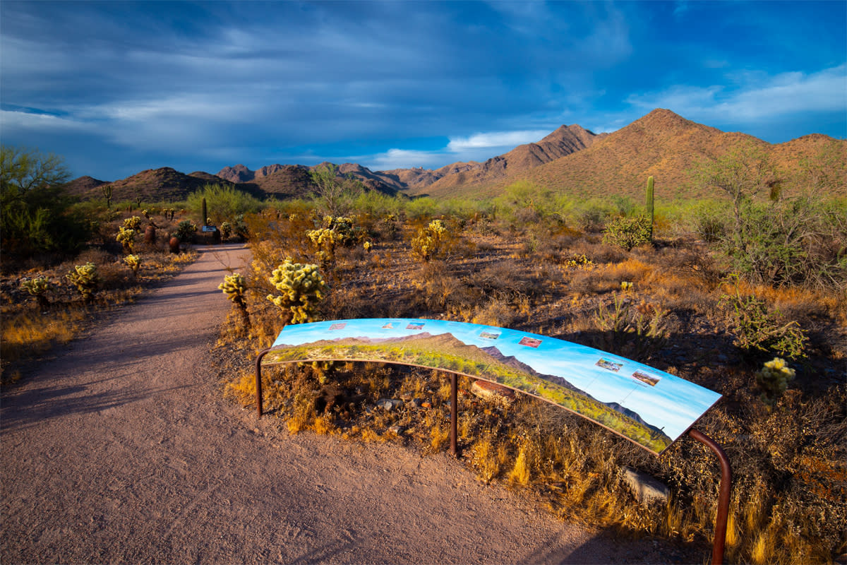
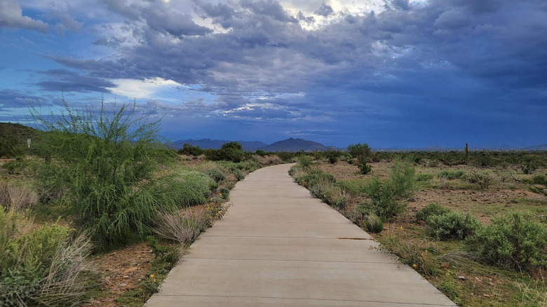
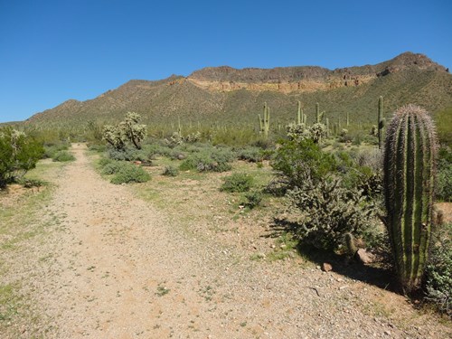
The Bajada is the accessible loop at the Gateway, the McDowell Sonoran Preserve's busiest trailhead, and the easiest way into the preserve from central Scottsdale. It is a figure-eight of firm stabilized decomposed granite with interpretive stops, built wide (8 feet typical) at an average 3 percent grade, and the connector lets you stop at a quarter mile. The trailhead has restrooms, water and shade ramadas, so it works well for a first outing.
Kovach Family Nature Trail (Lost Dog Wash Trailhead)
The Kovach Family Nature Trail sits at Lost Dog Wash, the preserve's south entrance off Via Linda, and is the gentlest of the Scottsdale accessible loops: the Conservancy lists an average grade of 3 percent and a maximum of 5.7 percent. It is two quarter-mile loops of stabilized decomposed granite with short concrete sections and accessible bridges, reached about a tenth of a mile from the accessible parking. Restrooms, water and shade ramadas are at the trailhead.
Jane Rau Interpretive Trail (Brown's Ranch Trailhead)
The Jane Rau Trail is a short interpretive loop beside a wash at Brown's Ranch, the big trailhead in the far north of the McDowell Sonoran Preserve, named for a local conservationist who helped save the land. It is the most rolling of the accessible trails here: it was built to 2013 US Forest Service trail standards, and the Conservancy reports an average grade of 4.8 percent with short pitches up to 11 percent, so some chair users may want a companion. Shaded benches line the route, and the trailhead has restrooms, water and ramadas.
Camino Campana Trail (Fraesfield Trailhead)
Camino Campana is the newest and longest of the McDowell Sonoran Preserve's accessible trails, a lollipop loop at the Fraesfield Trailhead in the northeast corner of the preserve. It carries 13 museum-quality interpretive stops about burrows, nests, geology and archaeology, and keeps to the same gentle grades as Kovach (3 percent average, 5.7 percent at most). The trailhead has restrooms and a shade ramada but no drinking water, so bring your own.
Indian Bend Wash Greenbelt Path
The Indian Bend Wash Greenbelt is Scottsdale's long paved spine: a wide concrete multi-use path through a chain of parks, lakes and golf courses, with more than 24 underpasses and bridges so you almost never cross a major street. It is shared with cyclists, and reviewers on TrailLink describe it as mostly flat and well maintained. The Indian Bend Wash Visitor Center on Hayden Road has a large lot with an underpass onto the path, and many parks along the way let you pick a short stretch.
Tempe Town Lake Path
Tempe Town Lake is ringed by paved paths beside downtown Tempe's Mill Avenue and Arizona State University, with grassy parks, public art and picnic spots along the shore. It is the easiest accessible outing here to reach without a car, since the Mill Avenue light rail station is about 0.2 miles from the park entrance.
Penny Howe Barrier Free Trail (North Mountain Park)
The Penny Howe trail is two small paved loops in North Mountain Park, in the foothills of the Phoenix Mountains Preserve, with interpretive plant signs along the way. It is the shortest trail on this list, good for a quick desert fix or a first try in a chair, though parts of it exceed a 5 percent grade. The paved parking lot has several designated accessible spaces, and park restrooms are near the Pima, Maricopa and Yavapai ramadas.
Judith Tunell Accessible Trail (South Mountain Park)
Phoenix's flagship barrier-free desert trail starts at the South Mountain Environmental Education Center and is named for a local accessibility advocate. It is two half-mile loops of stabilized granite: the Interpretive Loop, with Braille signage about native plants and animals and a 7.5 percent maximum grade, and the steeper Challenge Loop at up to 8.5 percent. Both have drinking fountains, benches and shaded ramadas, and the trail stays open when the center is closed.
Reach 11 Barrier Free Access Nature Trail
Reach 11 is a long greenbelt along the Central Arizona Project canal in north Phoenix, and this partly paved interpretive loop is the closest desert nature trail to north Scottsdale's 101 corridor. About twenty signs describe the mesquite, palo verde and ironwood and the quail, rabbits and coyotes that use them, and the loop passes a small pond and picnic area. The city notes that parts exceed a 5 percent grade and some chair users may need help, and the trail starts after a half-mile concrete approach path. Bikes and horses are not allowed on it.
East Skip Rimsza Paseo (Phoenix Sonoran Preserve)
The East Skip Rimsza Paseo is a smooth concrete path out of the Apache Wash Trailhead in the Phoenix Sonoran Preserve, at the far north edge of the city. The city describes the incline as barely noticeable, which makes it one of the easiest longer routes here, but it runs beside Sonoran Desert Drive and you will hear the traffic. A West Paseo from the same trailhead adds more concrete mileage, and the trailhead has vault toilets but no drinking water.
Elliot Ramada Loop Trail (Papago Park)
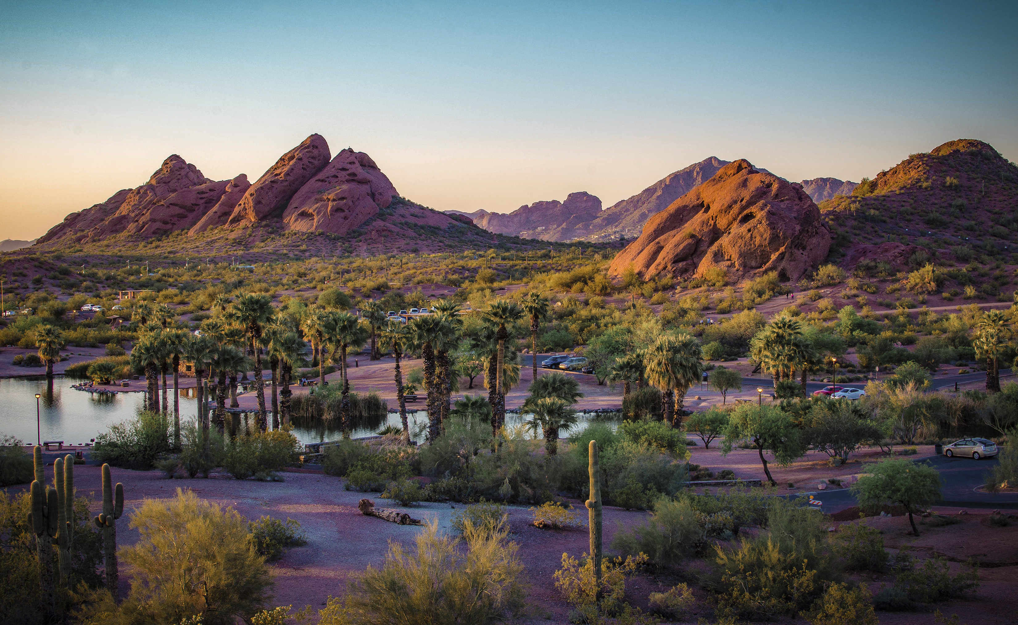
The Elliot Ramada Loop circles through Papago West Park among the red sandstone buttes on the Phoenix, Scottsdale and Tempe line, with a ramada rest stop at the halfway point and benches along the paved part. It mixes a dirt path with a paved park roadway, so expect some dirt stretches. Visit Phoenix suggests the West Buttes parking lot for the easiest access, and the views reach downtown Phoenix.
North Overbank Trail (Rio Salado Habitat Restoration Area)
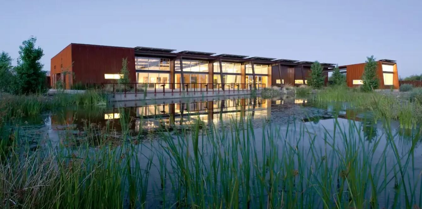
The North Overbank Trail is an asphalt path along the restored Salt River just south of downtown Phoenix, where ponds, cottonwoods and willows draw more than 250 bird species. It is completely flat except where it dips under street bridges at up to a 5 percent grade, and the city calls it dog friendly and good for bikes and skates. Start from the Central Avenue trailhead; the Audubon nature center nearby is free and has restrooms, and a South Overbank Trail runs the other bank.
Desert Botanical Garden Trails
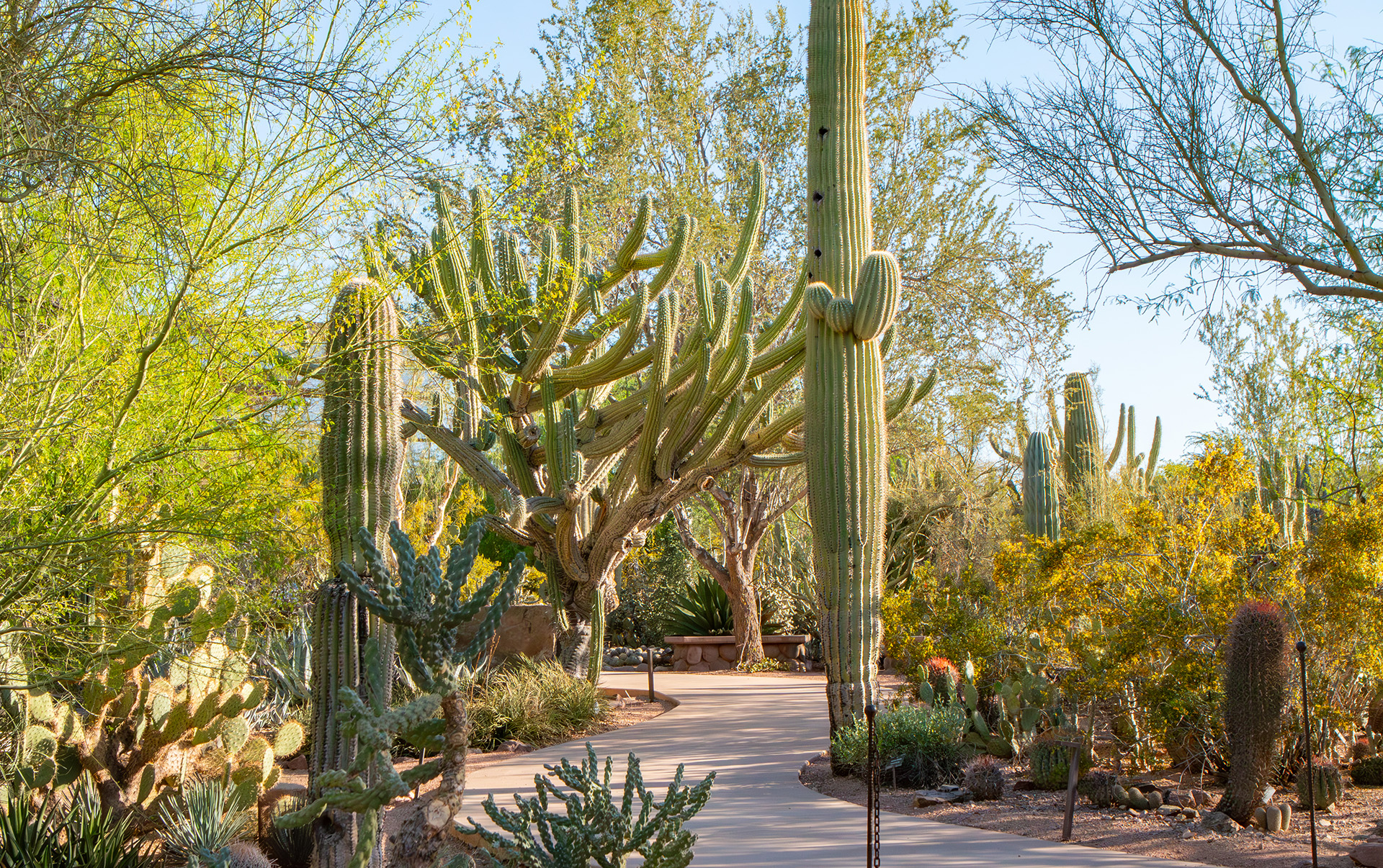
The Desert Botanical Garden in Papago Park is the one ticketed option here, and the one where accessibility is built into the whole visit: five themed trails, paved or hard-packed, wind past more than 50,000 desert plant displays. The garden says it is fully accessible by wheelchair and rents scooters at admissions on a first-come basis. Admission is charged, and the garden publishes no single length for its trail network, so the Length cell is blank.
Merkle Trail (Usery Mountain Regional Park)
The Merkle Trail is Maricopa County's barrier-free loop at Usery Mountain Regional Park on the far east side of the valley, a wide path of hard-packed gravel with educational nature signs. Grades run from 3 to 5 percent, and the payoff is a cactus-filled landscape with views of the Superstition Mountains. The county lists it at 0.9 miles while Visit Phoenix rounds it to a mile. The park charges a vehicle entry fee and has restrooms and drinking water.
Water Ranch Lake Trail (Riparian Preserve, Gilbert)
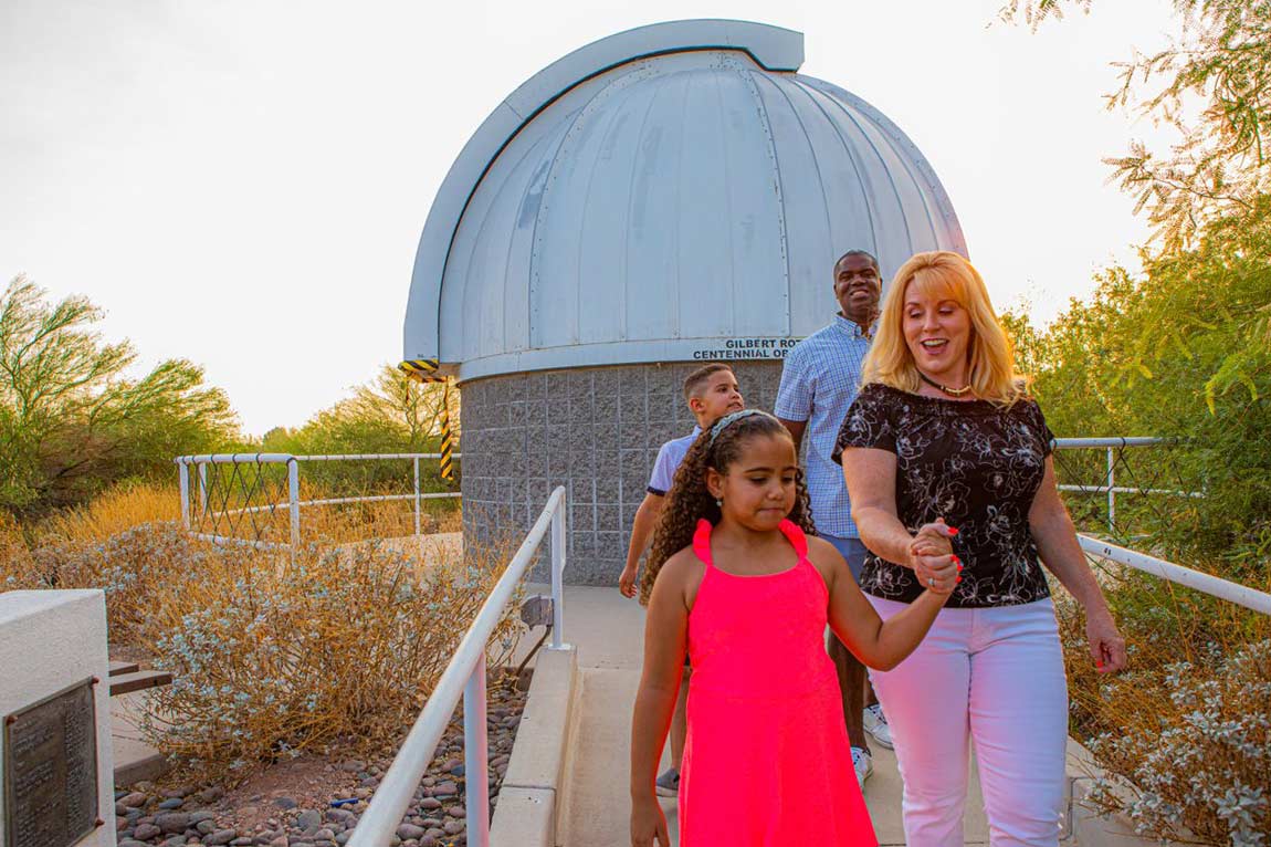
Gilbert's Riparian Preserve at Water Ranch turns groundwater recharge ponds into one of the best bird-watching spots in Arizona, with more than 200 species recorded. The accessible route is the concrete trail around Water Ranch Lake; flat dirt trails branch off it around the seven ponds, so you can go as far as your wheels allow. Benches, ramadas and an observatory are on site, and the preserve publishes no separate length for the lake loop.
Veterans Oasis Park Lake Path (Chandler)
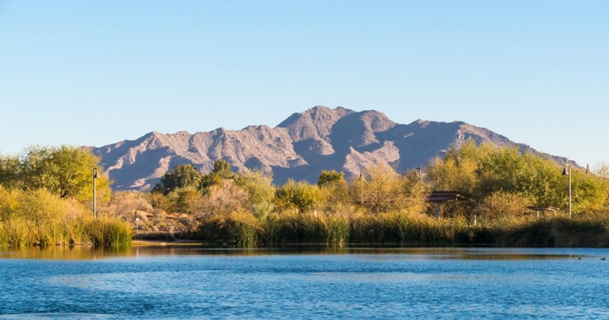
Veterans Oasis is a 113-acre park in south Chandler designed for groundwater recharge and wetlands, built around a community fishing lake. The accessible route is the short paved path right around the lake; the rest of the park's 4.5 miles of trails are groomed dirt. It is a long drive from Scottsdale, so it suits people already in the southeast valley.
Native Plant Trail (Lost Dutchman State Park)
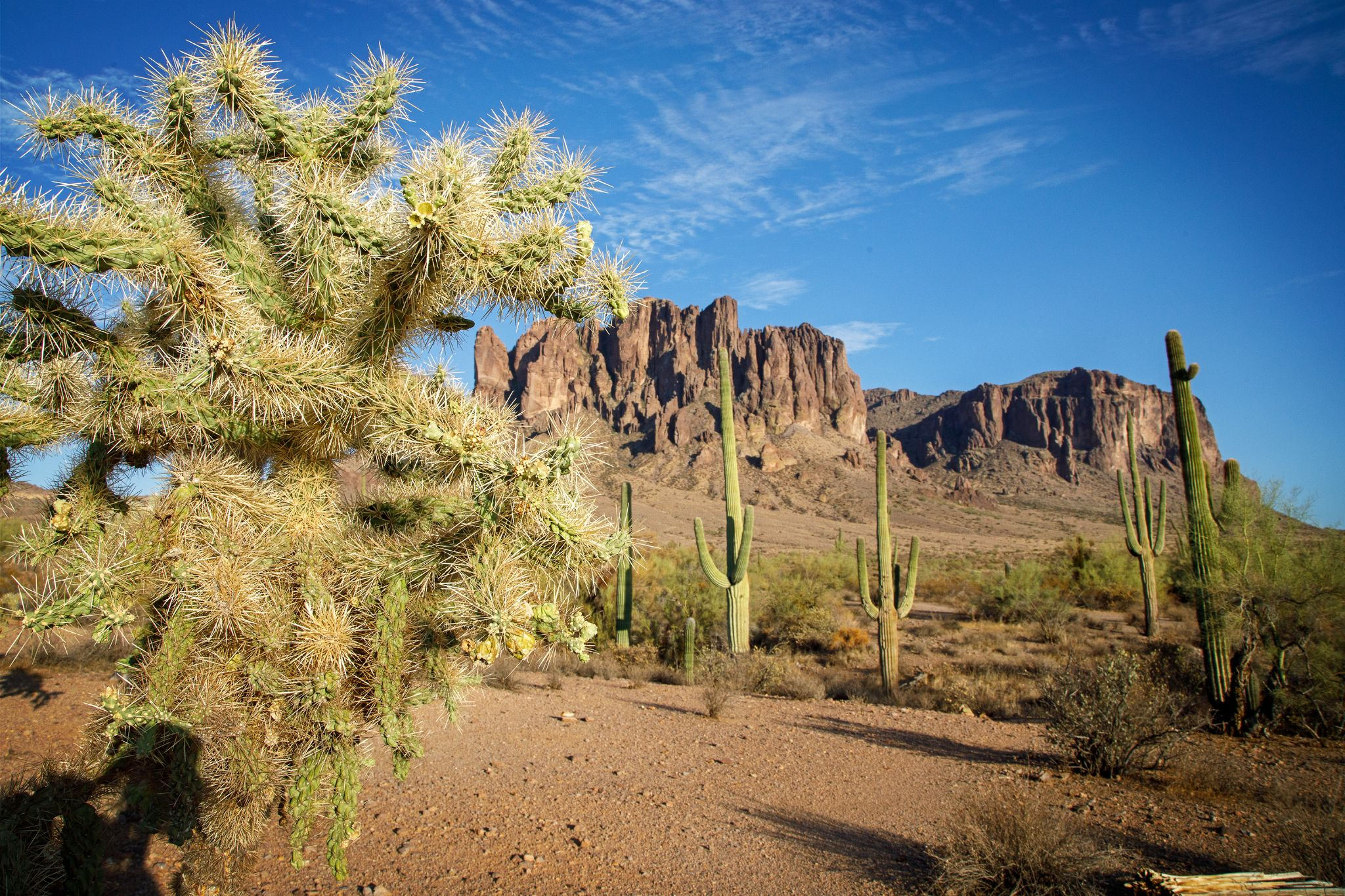
Lost Dutchman State Park sits right under the cliffs of the Superstition Mountains, and its Native Plant Trail is a short paved loop starting beside the visitor center. Cholla, prickly pear, ocotillo and other plants along it are labeled with names and pronunciations, so it doubles as a desert plant lesson. It is the farthest drive on this list, and the park charges a per-vehicle entry fee; accessible bathrooms are in the Cholla and Saguaro day use areas.
How we researched this
We read the managing agencies' own pages (the City of Scottsdale and the McDowell Sonoran Conservancy, Phoenix Parks' wheelchair accessible trails list and park trail pages, Maricopa County Parks, Arizona State Parks, Chandler, the Desert Botanical Garden and the Audubon Rio Salado center), plus Visit Phoenix's accessible hiking guide, the Arizona Birding Trail and TrailLink for details the agencies leave out, and recorded every value with the sentence it came from. The set covers trails that one of those sources describes as barrier-free, wheelchair accessible or paved; we left out Boyce Thompson Arboretum (about an hour east of Phoenix), the Japanese Friendship Garden and Steele Indian School Park (gardens and a park perimeter path rather than trails), and the West Skip Rimsza Paseo and South Overbank Trail, which share trailheads with options here.
Drive times are computed from map routes from Scottsdale with no traffic. A blank cell means no source we read states that value: the Desert Botanical Garden and the Water Ranch lake loop publish no single trail length, and five trailheads have no restroom information we could cite. Grades, surfaces and trailhead closures change, so check the managing agency's page before you go.