Best Hiking Trails Near San Diego in Fall
Updated .
| Option | Trail Miles | Trail Uses | Hours | Managed By | Address |
|---|---|---|---|---|---|
The closest big hike to the city: 8,000 acres of chaparral ridges and canyons about eight miles northeast of downtown, with the stair-stepped climb up Cowles Mountain to the highest point in San Diego at 1,591 feet. The route up is short but almost entirely unshaded, which is why locals put it off through the summer and crowd it once fall arrives. Access and parking are free, and the visitor center hands out maps and runs free guided nature walks. If a summit push is not the plan, the same park holds Lake Murray, the Kumeyaay Lake campground and miles of flat riverside trail. | 60source | City of San Diegosource | 1 Father Junipero Serra Trail, San Diego, CA 92119source | ||
An hour east of the city and a world away in temperature: oak woodland, pine and creek-fed meadows spread between 4,000 and 6,512 feet, where the black oaks turn in late autumn. The two headline climbs both leave from the Paso Picacho camp, a two-mile push up Stonewall Peak and a longer 3.5-mile grind up Cuyamaca Peak, and both look out to the desert one way and the ocean the other. Day use costs $10 per vehicle and the receipt covers the whole park for the day. Dogs are welcome in the campgrounds and on paved roads but are not allowed on the trails. | 100source | Hikers, bikes and horsessource | 8 AM to Sunsetsource | California State Parkssource | 13652 Highway 79 Julian, CA 92036source |
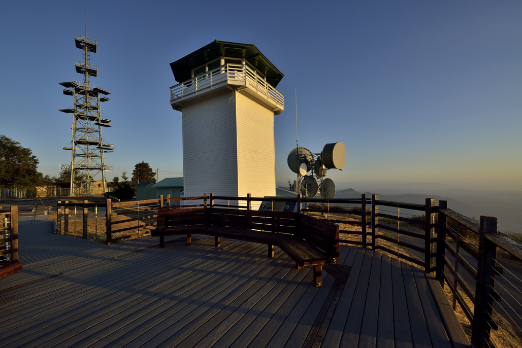
The most Sierra-like forest in San Diego County, high on the west shoulder of Palomar Mountain where the park averages about 5,000 feet and big pine, fir and cedar keep the trails shaded and cool. Doane Valley, Doane Pond and the historic Boucher Hill fire lookout are the anchors, and the vista points look west to the ocean and east to the desert. Trails here are foot traffic only, so no bikes and no dogs past the paved roads, and day use is $10 per vehicle, cash or check. There are no gas stations on the mountain, so fill up in Rincon or at Lake Henshaw before the climb. | Hikers onlysource | 8 AM to Sunsetsource | California State Parkssource | 19952 State Park Drive Palomar Mountain, CA 92060source | |
The classic Julian autumn hike: a steady five-mile round trip through the Hubbell Gate and up a mixed conifer ridge to a summit that looks out over the Anza-Borrego desert on one side and, on a clear day, the ocean on the other. Black oaks on the slope turn gold and rust from late October into November, which is the whole reason to come now rather than in spring. The county calls the climb moderately difficult and it is genuinely steep in places, with no water along the way. Parking is on Farmer Road rather than in a lot, so arrive early on weekends. | 5source | Hikers, bikes and horsessource | Sunrise to sunset, dailysource | 1209 Farmer Road, Julian, CA 92036source | |
A pine, oak and cedar forest at 4,200 feet just outside Julian, and one of the few parks in the county that sees snow most winters. Eleven miles of trail wander out from quiet mountain meadows, with routes climbing to overlooks that take in the desert to the east. Mule deer and wild turkeys are common sights on the trail. Day-use parking is $5, there is a campground with cabins, and the park pairs naturally with Julian's apple season a few minutes up the road. | 11source | Hikers and horsessource | Day use 9:30 a.m. to sunset, dailysource | County of San Diegosource | 4945 Heise Park Road, Julian, CA 92036source |
A seven-mile-long creek canyon running through the middle of the city's northern suburbs, with single-track under near-constant shade along the water and a wider fire road up on the sunny side. It is the most forgiving of the in-town hikes on a warm autumn afternoon, and the flat grade means you can walk as far in as you like and turn around. The rock garden and small waterfall near the west end only really run after winter rain, so treat them as a spring reward rather than a fall one. Leashed dogs are welcome, the preserve is day use only, and the Black Mountain Road staging area has the most parking. | 12source | Hikers, bikes and horsessource | Sunrise to sunset, dailysource | City and County of San Diegosource | 12020 Black Mountain Road, San Diego, CA 92129source |
A steep, sun-exposed reserve in the hills above Escondido Creek whose main climb, the Way Up Trail, earns its name: a relentless pull from the creek bottom to the Escondido Overlook, where the view runs to the ocean on a clear day. It is genuinely dangerous in summer heat and pleasant from October on, which makes it a fall regular for North County hikers. Entry and parking are free, though the trailhead has a donation box for the Escondido Creek Conservancy, and leashed dogs are welcome throughout. The reserve closes in heavy rain and on Red Flag days, and the parking gates lock at closing, so check the posted time before you start up. | 11source | Hikers, bikes and horsessource | 8:00 a.m. to about 30 minutes before sunsetsource | Olivenhain Municipal Water Districtsource | 8833 Harmony Grove Road, Escondido, CA 92029source |
A small, well-signed preserve above Lakeside built around a single 2.5-mile loop through chaparral, manzanita and oak woodland, with long views out to the mountains from the high side of the loop. It is the right size for a half-day outing or a first hike with kids, and the oaks keep a good part of the route shaded. Dogs on leash and horses are both welcome, which is not true of every preserve on this list. Rangers and the San Diego Astronomy Association hold star parties here on the second Saturday of the month, so it doubles as an evening destination once the sun starts setting early. | 2.5source | Hikers and horsessource | Sunrise to sunset, dailysource | County of San Diegosource | 12620 Wildcat Canyon Road, Lakeside, CA 92040source |
Open grassland and vernal pools in the Santa Maria Valley, ringed by oaks and rocky peaks, and about as gentle as a backcountry hike gets. The staging area off Highland Valley Road feeds a 4-mile loop system that strings together the Meadow Loop, the Connector and the Wildflower Loop, all of it easy walking with panoramic views. Autumn is when the grass goes gold and the heat finally breaks; there is very little shade, so a cool morning matters here more than on the canyon hikes. Parts of the preserve stay closed to protect sensitive habitat, so stick to the marked loops. | 4source | Hikers, bikes and horsessource | 8 a.m. to sunset, dailysource | County of San Diegosource | 17430 Highland Valley Road, Ramona, CA 92065source |
The tip of Point Loma, where the Bayside Trail drops down an old military road through one of the last stands of coastal sage scrub and ends above Ballast Point, looking across the bay at downtown and the submarine base. It is a 2.5-mile round trip with a 340-foot climb on the way back, and the ocean breeze means it stays walkable on days when the inland trails do not. Fall is also when the tidepool season starts down at the bottom of the park. Entry is $20 per vehicle for a seven-day pass, the trail closes at 4 p.m. sharp, and dogs are only allowed on the Coastal Trail near the tidepools. | 2.5source | Trail open 9AM - 4PMsource | National Park Servicesource | 1800 Cabrillo Memorial Drive San Diego, CA 92106source | |
The staging point for two very different walks: an easy loop around Lake Poway, and the long climb up the back of Mount Woodson to the granite slab hikers queue on for a photo. The Woodson route is a full morning of switchbacks with no shade, which is why the city closes it outright on days above 100 degrees and why autumn is the sensible season for it. Gates open at 6 a.m., so a dawn start is easy. Parking is free for Poway residents and $10 for everyone else on weekends and holidays. | Hikers, bikes and horsessource | Daily 6:00 a.m. to Sunsetsource | City of Powaysource | 14644 Lake Poway Road Poway, CA 92064source |