Lakes Near Pflugerville, TX
Fifteen lakes within about 105 minutes of Pflugerville compared on drive time, size, depth, swimming, clarity and fish, from Lake Pflugerville to Lake LBJ. Read our take
At a glance
| Option | Address | Drive Time from Pflugerville | Surface Area | Maximum Depth | Year Impounded | Managed By | Swimming | Water Level Swings | Water Clarity | Fish Species |
|---|---|---|---|---|---|---|---|---|---|---|
| 18216 Weiss Lane, Pflugerville, TX 78660source | 14 | 180source | City of Pflugervillesource | Swimming allowedsource | ||||||
| 6614 Blue Bluff Road, Austin, TX 78724source | 22 | 1,269source | 60source | 1967source | City of Austinsource | Swimming allowedsource | Moderatesource | Clear to slightly stainedsource | Largemouth bass, Hybrid striped bass, Catfish, Sunfishsource | |
| 2101 Jesse E Segovia St, Austin, TX 78702source | 36 | 468source | 18source | 1960source | City of Austinsource | No swimmingsource | Stablesource | Clear to slightly stainedsource | Largemouth bass, Catfish, Sunfish, Common carpsource | |
| 1600 City Park Road, Austin, TX 78730source | 51 | 1,599source | 75source | 1939source | Lower Colorado River Authoritysource | Designated swim areasource | Stablesource | Clear to slightly stainedsource | Largemouth bass, Catfish, Sunfishsource | |
| 4370 Mansfield Dam Park Road, Austin, TX 78732source | 44 | 18,622source | 190source | 1942source | Lower Colorado River Authoritysource | Designated swim areasource | Highsource | Clear to slightly stainedsource | Largemouth bass, Guadalupe bass, White bass, Striped bass, Catfish, Sunfishsource | |
| 500 Cedar Breaks Road, Georgetown, TX 78628source | 31 | 1,297source | 85source | 1980source | U.S. Army Corps of Engineerssource | Designated swim areasource | Highsource | Clear to slightly stainedsource | Largemouth bass, Smallmouth bass, Catfish, White bass, Hybrid striped basssource | |
| 3100 Granger Dam Road, Granger, TX 76530source | 51 | 4,009source | 50source | 1980source | U.S. Army Corps of Engineerssource | Designated swim areasource | Moderatesource | Turbidsource | White bass, Crappie, Catfishsource | |
| 603 FM 1441, Bastrop, TX 78602source | 58 | 906source | 60source | 1964source | Lower Colorado River Authoritysource | Designated swim areasource | Stablesource | Clear to slightly stainedsource | Largemouth bass, Catfish, Sunfishsource | |
| 3740 FM 1670, Belton, TX 76513source | 55 | 6,429source | 107source | 1968source | U.S. Army Corps of Engineerssource | Designated swim areasource | Moderatesource | Very clearsource | Largemouth bass, Smallmouth bass, Catfish, Crappie, White basssource | |
| 3110 FM 2271, Belton, TX 76513source | 64 | 12,385source | 124source | 1954source | U.S. Army Corps of Engineerssource | Designated swim areasource | Moderatesource | Moderately stainedsource | Largemouth bass, Smallmouth bass, Catfish, White bass, Hybrid striped bass, Sunfishsource | |
| 307 Buena Vista Dr, Marble Falls, TX 78654source | 80 | 611source | 60source | 1961source | Lower Colorado River Authoritysource | Stablesource | Clear to slightly stainedsource | Largemouth bass, Catfish, Sunfishsource | ||
| 3480 Park Road 4 West, Burnet, TX 78611source | 81 | 831source | 60source | 1938source | Lower Colorado River Authoritysource | Swimming allowedsource | Stablesource | Clear to slightly stainedsource | Largemouth bass, White bass, Crappie, Catfish, Sunfishsource | |
| 1250 Park Prairie Road, Fayetteville, TX 78940source | 95 | 2,400source | 70source | 1978source | Lower Colorado River Authoritysource | Swimming allowedsource | Stablesource | Moderately stainedsource | Largemouth bass, Catfish, Sunfishsource | |
| 601 COE Road, Canyon Lake, TX 78133source | 94source | 8,308source | 125source | 1964source | U.S. Army Corps of Engineerssource | Designated swim areasource | Moderatesource | Clear to slightly stainedsource | Largemouth bass, Smallmouth bass, Guadalupe bass, White bass, Striped bass, Catfishsource | |
| 335 Park Lane, Sunrise Beach, TX 78643source | 105source | 6,449source | 90source | 1951source | Lower Colorado River Authoritysource | Designated swim areasource | Stablesource | Clear to slightly stainedsource | Largemouth bass, White bass, Crappie, Catfishsource |


Our take
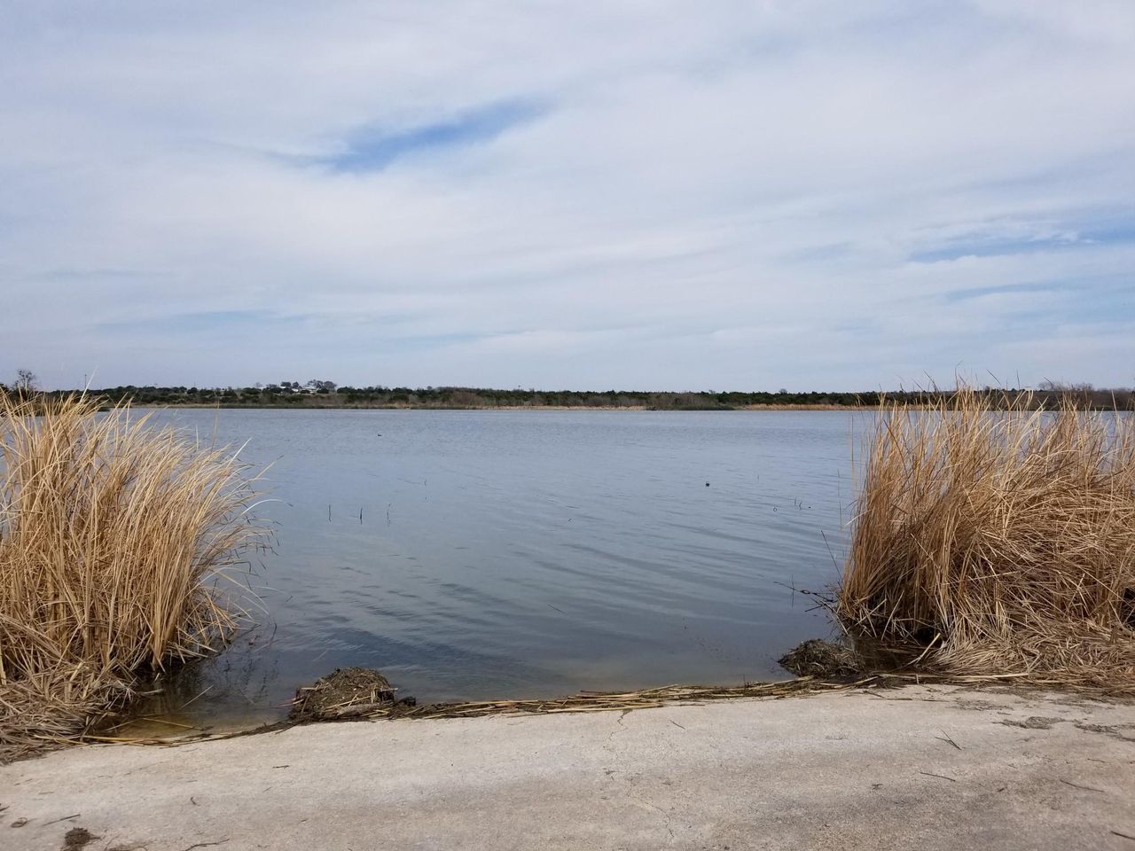
The closest lake is Lake Pflugerville, a 14-minute drive, a 180-acre city reservoir where swimming is allowed and only electric motors or paddle craft can launch. For a big-water day, Lake Travis is 44 minutes away and dwarfs everything else here at 18,622 acres and 190 feet deep, with a designated swim cove at Mansfield Dam Park.
The real split in this table is between lakes that hold their level and lakes that swing. Lake Austin, Lake Bastrop, Lady Bird Lake, Inks Lake and Lake LBJ are rated Stable, so their ramps and beaches stay usable in dry years, while Lake Travis and Lake Georgetown are rated High and can drop far enough to strand them. The second split is the water itself: every Corps of Engineers lake here, from Lake Georgetown to Canyon Lake, has a designated swim beach, while Lady Bird Lake bans swimming outright.
Our picks
- Closest to Pflugerville: Lake Pflugerville. A 14-minute drive, swimming allowed, and a 180-acre lake small enough for an after-work paddle.
- Biggest lake for boating: Lake Travis. 18,622 acres and 190 feet deep, 44 minutes away, with a designated swim area.
- Clearest water for swimming: Stillhouse Hollow Lake. The only lake rated Very clear, with designated swim beaches, 55 minutes away.
- Crappie fishing: Granger Lake. Crappie, white bass and catfish are its main species, 51 minutes from Pflugerville.
- Paddling in downtown Austin: Lady Bird Lake. 36 minutes away and Stable, with no swimming and no gas motors, so the water belongs to kayaks and rowers.
Stable lakes versus lakes that swing
Texas Parks and Wildlife rates how much each lake's level moves, and it matters more than size for planning a summer day. Lake Austin, Lady Bird Lake, Lake Marble Falls, Lake LBJ and Inks Lake are constant-level lakes held by the dams above and below them, and Lake Bastrop and Fayette County Reservoir rarely move more than a foot or two.
Lake Travis can drop 10 to 20 feet in a drought and Lake Georgetown can move 5 to 30 feet in a year, so check the current level and ramp closures before towing a boat to either. Granger Lake, Stillhouse Hollow Lake, Belton Lake and Canyon Lake sit in between at a few feet. Walter E. Long Lake normally holds nearly constant at 555 feet, but Austin Energy is keeping it near 550 feet while Decker Dam is repaired, which is why its boat ramp is closed.
Where you can swim near Pflugerville
Thirteen of these lakes have a designated swim area or say swimming is allowed. The marked beaches are at the Corps of Engineers lakes (Russell Park on Lake Georgetown, Wilson H. Fox and Friendship parks on Granger Lake, Dana Peak and Stillhouse parks on Stillhouse Hollow Lake, Temple's Lake Park on Belton Lake, Canyon Park and Comal Park on Canyon Lake), plus Emma Long Park on Lake Austin, Mansfield Dam Park on Lake Travis, North Shore Park on Lake Bastrop and the square swim pier at GSLE Park on Lake LBJ. Several close their beaches outside the warm months, and Russell Park and Inks Lake State Park both state that no lifeguards are on duty.
Lady Bird Lake is the exception: city code makes it illegal to swim or wade there. On Walter E. Long Lake swimming is at your own risk and banned in posted no-swimming areas. For clear water, Stillhouse Hollow Lake is the only one rated Very clear, while Granger Lake is rated Turbid.
Bass, crappie or stripers
Largemouth bass are listed at thirteen of the fourteen lakes with a state profile, so the species list matters most for anything else. Lake Travis and Canyon Lake are the only lakes listing striped bass and Guadalupe bass, Walter E. Long Lake, Lake Georgetown and Belton Lake list hybrid striped bass, and Granger Lake is the crappie lake, where largemouth are not among the main species at all. The state also rates Lake LBJ's white crappie the best on the Highland Lakes chain.
Smallmouth bass show up at Lake Georgetown, Stillhouse Hollow Lake, Belton Lake and Canyon Lake, all deep, rocky Corps of Engineers lakes. Lady Bird Lake is the only one listing common carp, which draws anglers after fish over 30 pounds.
Closures and rules to check in 2026
The boat ramp at Walter E. Long Lake has been closed since July 2025 because the water is too low for safe launches during the dam work, which the city expects to run into 2027. The park remains open with a per-vehicle entry fee, and canoes and kayaks can still launch from shore. At Lake Pflugerville, Pier 2 on the south side is shut for repair, part of the trail and the south parking lots are closed through January 2027, and a May 2026 ordinance shortened park hours and banned alcohol.
Zebra mussels are in Lake Travis, Lady Bird Lake, Stillhouse Hollow Lake, Belton Lake, Inks Lake, Canyon Lake and Lake LBJ, among others, and state law requires draining a boat's water before it moves to another lake. On Lake Austin, jet skis are banned over Memorial Day, July 4 and Labor Day weekends.
The options in detail
Lake Pflugerville
Pflugerville's own lake, a city drinking-water reservoir that became the town's busiest family park, with fishing piers along the shore and a trail loop around the water (Pier 2 on the south side is shut for repair). Only electric motors and paddle craft are allowed, which keeps it quiet for kayaks, canoes and windsurfing. Kids 16 and under can fish without a license. Two things to know right now: part of the southwest trail and the south parking lots are closed for construction through January 2027, and a May 2026 ordinance shortened park hours and banned alcohol.
Walter E. Long Lake
Also called Decker Lake, this is a power-plant cooling lake inside Walter E. Long Metropolitan Park on Austin's east side, the closest big lake to Pflugerville. Anglers know it for big largemouth bass and stocked hybrid striped bass. Its level normally barely moves, but Austin Energy has drawn it down to about 550 feet while it repairs Decker Dam, and the boat ramp is closed until the work finishes, expected some time in 2027; canoes and kayaks can still launch from shore. Swimming is at your own risk and banned in posted no-swimming areas, and the park charges a per-vehicle entry fee.
Lady Bird Lake
The river lake through downtown Austin, ringed by the hike-and-bike trail and rental docks for kayaks, canoes and paddleboards. It is a paddling lake: gas motors are banned, only small electric motors are allowed, and swimming or wading is illegal. Fishing is better than most people expect, with lots of 2 to 3 pound bass and very large carp. Parking near the launches is tight and mostly paid street parking.
Lake Austin
A long, narrow, constant-level stretch of the Colorado River between Lake Travis and downtown Austin, with heavy recreational boating on summer days. Emma Long Metropolitan Park is the public way in, with a boat ramp, campsites and a designated swim beach. Texas Parks and Wildlife rates its largemouth bass fishing excellent, with 8 to 10 pound fish caught every year, and suggests fishing at night in summer to avoid the boat traffic. Jet skis are banned on Memorial Day, July 4 and Labor Day weekends.
Lake Travis
The big one: by far the largest and deepest lake in this table, with clear water, limestone cliffs and Travis County parks around the shore for swimming, scuba diving and camping. Mansfield Dam Park has the lake's largest public boat ramp and a swim cove. The drawback is the water level, which can drop 10 to 20 feet in a drought and close ramps and beaches, so check the current level before you go. Zebra mussels are in the lake, so boats must be cleaned, drained and dried.
Lake Georgetown
A Corps of Engineers lake just west of Georgetown, about 20 miles north of Austin, with steep limestone banks and clear water. Russell Park has the swim beach, a washed pebble beach behind a floating barrier, open April through September with no lifeguards. It holds a dense largemouth bass population and spring white bass runs up the San Gabriel River. The level can swing a lot from year to year, which affects ramps and beaches.
Granger Lake
A shallow Corps of Engineers lake on the San Gabriel River near Granger and Taylor, northeast of Pflugerville. It is the crappie lake of the area, with lots of legal-size fish, plus good catfish and white bass, though bass fishing is marginal. Flooded willows and stumps cover the shallows, the water is muddy rather than clear, and there are two developed swim beaches.
Lake Bastrop
A small, steady LCRA lake near Bastrop whose level rarely moves more than a foot or two, so its ramps and beaches hold up in dry years. North Shore Park has the swim areas, a fishing pier, watercraft rentals and a gift shop. Texas Parks and Wildlife calls it a high-quality bass lake heavily stocked with Florida largemouth, though most fish run 2 to 5 pounds.
Stillhouse Hollow Lake
One of the clearest lakes in Central Texas, deep and rocky, about 5 miles west of Belton. Several Corps of Engineers parks line the shore, with designated swim beaches at Dana Peak, Stillhouse and Union Grove, though some beaches close for the winter months. It is a good smallmouth and largemouth bass lake. Day-use fees apply at most parks.
Belton Lake
A large Corps of Engineers lake on the Leon River northwest of Belton, with tall bluffs, rocky points and about a dozen parks around the shore. It is best known for hybrid striped bass. Temple's Lake Park and Westcliff Park have designated swim beaches, and three marinas sell supplies and fuel. It is the farthest north of the lakes here, so plan on a longer drive.
Lake Marble Falls
A narrow, riverine Highland Lakes reservoir that runs through the town of Marble Falls between Lake LBJ and Lake Travis, held at a constant level. The public access is at the city's Lakeside and Johnson parks just west of the US 281 bridge, with free boat ramps and restrooms but no camping. Fishing is moderate, mostly largemouth bass and catfish. The city's park page does not say whether swimming is allowed, so ask the city before planning a swim.
Inks Lake
A small, constant-level Highland Lakes lake best visited through Inks Lake State Park on its eastern shore. The park lets you swim (no lifeguards), boat, water ski, scuba dive and fish, rents kayaks and paddleboards, and sets aside a large no-wake paddling zone plus the Devil's Waterhole swimming spot. Camping is popular enough that booking well ahead is a good idea, and there is a daily entrance fee.
Fayette County Reservoir
A power-plant cooling reservoir east of La Grange, the farthest lake south and east in this table. Texas Parks and Wildlife calls it first and foremost a largemouth bass lake, and tournament surveys rank it at or near the top in the state. Two LCRA parks, Park Prairie and Oak Thicket, have boat ramps, fishing piers, campsites and cabins, and the day-use area is open for swimming.
Canyon Lake
A deep, clear Corps of Engineers lake on the Guadalupe River northwest of New Braunfels, and the southernmost lake here. Steep rocky banks, rock ledges and standing timber make it a strong largemouth and striped bass lake, and the state stocks stripers every year because they do not breed there. Designated swim beaches are at Canyon Park and Comal Park, run by Comal County's recreation district, plus one at Potters Creek Park for campers only, and North Park below the dam is a favorite with scuba divers. Zebra mussels are in the lake, so boats must be cleaned, drained and dried.
Lake LBJ
Lake Lyndon B. Johnson is a constant-level Highland Lakes reservoir between Kingsland, Granite Shoals and Marble Falls, with a shoreline so built up with bulkheads and boat houses that public access runs through small town parks and two main ramps, at Wirtz Dam and Kingsland Lions Park. Its white crappie fishing is rated the best on the Highland Lakes chain, and white bass run up the Llano River in spring. The address listed is GSLE Park in Sunrise Beach Village, a small park with a boat ramp and a square pier that marks its swimming area. Zebra mussels are present, and the state asks visitors to watch for algae blooms.
How we researched this
We read the Texas Parks and Wildlife lake profile for each lake for its surface area, maximum depth, year impounded, controlling authority, level fluctuation, normal clarity and predominant fish, and the operators' own park pages (City of Austin, City of Pflugerville, Travis County, the Corps of Engineers, LCRA's park operator, Inks Lake State Park, the City of Marble Falls and Sunrise Beach Village) for swimming rules and an address. For Walter E. Long Lake we also read Austin Energy's Decker Dam project page, because the lake is being held below its normal level. Each lake is pinned at one main public park or office, and the drive time is a road route from Pflugerville to that address without traffic.
Lake Pflugerville has no state lake profile, so its depth, year, level, clarity and fish cells are blank, and no page we read says whether swimming is allowed at Lake Marble Falls. We left out Lake Buchanan and Lake Somerville, which sit at or beyond the far edge of this set, and Brushy Creek Lake in Cedar Park, a small park lake with no state profile and no operator page we could read. Levels, fees and closures change often, so confirm with the operator before you go.