Walking Trails Near Chicago
Fifteen walking trails near Chicago compared on length, surface, setting and route shape, from the 1.25-mile Riverwalk to the 58.52-mile Illinois Prairie Path. Read our take
At a glance
| Option | Length | Surface | Setting | Route shape | Shared with | Address | Drive time from Chicago (min) |
|---|---|---|---|---|---|---|---|
| 18.5source | Pavedsource | Lakefrontsource | Point to pointsource | Bike, Inline Skatingsource | 7059 S South Shore Dr, Chicago, IL 60649source | 25 | |
| 2.7source | Pavedsource | Urbansource | Point to pointsource | Bike, Inline Skatingsource | 1805 N Ridgeway Ave, Chicago, IL 60647source | 27 | |
| 1.25source | Pavedsource | Urbansource | Point to pointsource | Bikesource | 376 N Michigan Ave, Chicago, IL 60601source | 8 | |
| 25.5source | Pavedsource | Riversidesource | Point to pointsource | Bike, Horseback Riding, Inline Skating, Cross Country Skiingsource | 4498 W Foster Ave, Chicago, IL 60630source | 24 | |
| 11.6source | Pavedsource | Woods and prairiesource | Loopsource | Bike, Fishing, Inline Skating, Snowmobiling, Cross Country Skiingsource | 900 Biesterfield Rd, Elk Grove Village, IL 60007source | 45 | |
| 56.1source | Paved and unpavedsource | Riversidesource | Point to pointsource | Bike, Horseback Riding, Mountain Biking, Snowmobiling, Cross Country Skiingsource | 3120 Milwaukee Ave, Northbrook, IL 60062source | 48 | |
| 30.4source | Paved and unpavedsource | Woods and prairiesource | Point to pointsource | Bike, Inline Skatingsource | 4800 S Harlem Ave, Forest View, IL 60402source | 30 | |
| 58.52source | Paved and unpavedsource | Rail corridorsource | Point to pointsource | Bike, Horseback Riding, Mountain Biking, Inline Skating, Cross Country Skiingsource | 860 Walnut St, Glen Ellyn, IL 60137source | 56 | |
| 6.5source | Paved and unpavedsource | Rail corridorsource | Point to pointsource | Bike, Inline Skating, Cross Country Skiingsource | 1200 Wilmette Ave, Wilmette, IL 60091source | 43 | |
| 8.3source | Paved and unpavedsource | Riversidesource | Point to pointsource | Bike, Mountain Biking, Inline Skatingsource | 5100 N Francisco Ave, Chicago, IL 60625source | 31 | |
| 16.2source | Pavedsource | Riversidesource | Point to pointsource | Bike, Fishing, Inline Skating, Cross Country Skiingsource | 7402 Lake Katherine Dr, Palos Heights, IL 60463source | 50 | |
| 21.6source | Pavedsource | Rail corridorsource | Point to pointsource | Bike, Inline Skating, Cross Country Skiingsource | 4160 Charleston Rd, Matteson, IL 60443source | 50 | |
| 16source | Paved and unpavedsource | Woods and prairiesource | Loopsource | 4100 IL-53, Lisle, IL 60532source | 47 | ||
| 9.5source | Unpavedsource | Woods and prairiesource | Loopsource | Bike, Horseback Riding, Cross Country Skiingsource | Northgate Rd and Cass Ave, Darien, IL 60561source | 38 | |
| 42.1source | Unpavedsource | Woods and prairiesource | Bike, Horseback Riding, Cross Country Skiingsource | 9500 Willow Springs Rd, Willow Springs, IL 60480source |


Our take
For a walk without leaving the city, the Chicago Lakefront Trail is the one to start with: since 2018 walkers have had their own 18.5-mile pedestrian trail along Lake Michigan, separate from the bike trail. If you want woods instead, Waterfall Glen Forest Preserve's 9.5-mile crushed limestone loop is about 38 minutes' drive from downtown, and the Busse Woods Trail's paved loop around Busse Lake is the easiest woods walk that ends where you parked. For dirt paths and real hills, the Palos Trail System in the southwest suburbs has 42.1 miles of unpaved trails.
The real split in this table is route shape. Eleven of the fifteen are point-to-point trails built along the lakeshore, rail lines, rivers and canals, so you either walk out and back or arrange a ride; Busse Woods, Waterfall Glen and The Morton Arboretum are loops, and Palos is a network of connected trails. The second split is underfoot: seven trails are paved end to end, while the Illinois Prairie Path, Salt Creek Trail and Waterfall Glen give you crushed stone or limestone for much of the way, and Palos is dirt and gravel throughout.
Our picks
- Best walk in the city: Chicago Lakefront Trail. An 18.5-mile pedestrian trail along Lake Michigan, kept separate from the 18-mile bike trail.
- Easiest loop: Busse Woods Trail. Paved, with a 7.3-mile loop around Busse Lake inside a 3,700-acre forest preserve.
- Best nature loop: Waterfall Glen Forest Preserve. A 9.5-mile crushed limestone loop through woods and prairie, about 38 minutes from downtown.
- Best short walk: The 606 (Bloomingdale Trail). 2.7 paved miles raised above four neighborhoods, with ramps down to coffee shops and parks.
- Best one-way walk: Green Bay Trail. 6.5 miles beside the Metra line from Wilmette to Highland Park, so you can ride the train back.
Paved paths or crushed stone
Seven trails here are paved the whole way: the Chicago Lakefront Trail, The 606, the Chicago Riverwalk, the North Branch Trail, the Busse Woods Trail, the Cal-Sag Trail and the Old Plank Road Trail. They suit strollers, wheelchairs and wet days.
The Des Plaines River Trail changes most, from pavement to crushed stone to narrow single-track that gets rooty and slick in its southern stretches. The Illinois Prairie Path is mostly hard-packed crushed stone once it leaves the towns, Waterfall Glen is crushed limestone and turf with no paved loop at all, and the Palos Trail System is unpaved throughout, with hilly gravel trails and narrow dirt singletrack. At The Morton Arboretum the paths near the Visitor Center are paved, but most of its 16 miles are wood chips.
Loop trails or out and back
Three options are laid out as loops that bring you back to your car without retracing your steps. Busse Woods has a 7.3-mile loop at the center of its 11.6 miles, Waterfall Glen's main loop is 9.5 miles, and The Morton Arboretum has loops of different lengths you can combine. The Palos Trail System has no single route at all: its trails link Swallow Cliff Woods, Maple Lake and Saganashkee Slough, so you build a walk of the length you want.
On a point-to-point trail, pick a stretch rather than the whole length: few people walk all 58.52 miles of the Illinois Prairie Path or 56.1 miles of the Des Plaines River Trail. The Green Bay Trail and the Illinois Prairie Path both start near train stations, which makes a one-way walk practical.
Who you share the trail with
Every trail here except The Morton Arboretum lists bikes among its uses, so on busy days keep right and listen for bells. Horseback riders use the North Branch Trail, the Des Plaines River Trail, the Illinois Prairie Path, Waterfall Glen and the Palos Trail System, whose singletrack is also the area's best-known mountain biking, so expect riders coming the other way. In winter, snowmobiling is listed for the Busse Woods Trail and allowed on the northern Lake County end of the Des Plaines River Trail.
Fees, hours and closures to check first
The Morton Arboretum is the only option that charges: you need a daytime admission ticket, which covers parking, and tickets can sell out at peak times. The Chicago Riverwalk is free and open 6 am to 11 pm, and DuPage forest preserves like Waterfall Glen open one hour after sunrise and close one hour after sunset.
The Chicago Park District is repairing the Lakefront Trail one section at a time, working north from the south end, and reviewers report flooding under viaducts on the Salt Creek Trail after heavy rain.
The options in detail
Chicago Lakefront Trail
Chicago's signature walk: a pedestrian path along Lake Michigan from Ardmore Avenue on the North Side to 71st Street on the South Side, past Navy Pier, Grant Park, North Avenue Beach and the Museum of Science and Industry. Since 2018 walkers have had their own trail beside a separate bike trail, which eased the old crowding, though downtown stretches still fill up on summer weekends. The Park District is patching and seal-coating the trail one section at a time from the south end north, so expect short work zones through the coming months.
The 606 (Bloomingdale Trail)
An elevated former freight line that runs 17 feet above Wicker Park, Bucktown, Humboldt Park and Logan Square, with twelve ramps down to street level, so it is easy to walk a short stretch and drop into a coffee shop or one of the five trailside parks. The paved path is 14 feet wide and shared with cyclists, runners and strollers. There are no restrooms along the trail and no designated parking, so most people arrive on foot, by CTA or by Divvy.
Chicago Riverwalk
A short promenade along the main branch of the Chicago River downtown, running from Lake Street east to the lakefront, with benches, public art, statues, riverfront bars, food kiosks and kayak rentals along the way. It is free and open from 6 am to 11 pm. This is a busy city stroll rather than a nature walk, and at its east end it links straight onto the Lakefront Trail if you want to keep going.
North Branch Trail
Follows the North Branch of the Chicago River from Foster Avenue on the Northwest Side up through a chain of Cook County forest preserves to the Chicago Botanic Garden and Highland Park. A 4.4-mile loop around the Skokie Lagoons and Erickson Woods makes a popular shorter walk, though its west side runs beside I-94 and picks up traffic noise, so the east side is quieter. Parking lots, restrooms and picnic areas are spread along the route, and an unpaved equestrian path runs beside much of the paved trail.
Busse Woods Trail
A paved trail system through the Ned Brown Forest Preserve, better known as Busse Woods, built around a 7.3-mile loop that circles the many arms of Busse Lake, with spurs out to its north and south ends. The preserve keeps a small herd of resident elk, and the loop passes woods, meadows and long stretches of shoreline. One recent reviewer found cracked, unsealed asphalt in places, which bothers skaters more than walkers. It connects to the Salt Creek Trail at the preserve's southeast corner.
Des Plaines River Trail
Running just over 56 miles beside the Des Plaines River from Russell Road near the Wisconsin line down to River Grove, hemmed in almost the whole way by forest preserves. The surface changes from pavement to crushed stone to narrow single-track, and the southern stretches get narrow and rooty, so watch your footing when the ground is wet. The River Trail Nature Center in Northbrook makes a good base for a shorter walk, and several busy road crossings go through tunnels.
Salt Creek Trail
Links Busse Woods in the northwest suburbs to the Chicago Portage National Historic Site, following Salt Creek through a string of Cook and DuPage forest preserves including Fullersburg Woods and passing close to Brookfield Zoo. Portions are paved and others are limestone screenings, with a few short on-road stretches, and some junctions are confusing, so carry the map. Reviewers warn that the path can flood under viaducts after heavy rain.
Illinois Prairie Path
One of the country's first rail-trail conversions, following the old Chicago Aurora and Elgin interurban line west from the CTA Forest Park station through DuPage County, then splitting into branches that reach the Fox River at Elgin, Geneva, Batavia and Aurora. Outside the towns most of it is hard-packed crushed stone through woods, prairie and farmland, a softer surface than the city trails. Its eastern end at a CTA station means you can start a walk without a car.
Green Bay Trail
A North Shore trail that follows the Metra Union Pacific North line from Wilmette through Kenilworth and Winnetka to Highland Park, staying within about a mile of Lake Michigan and passing shops, parks and Ravinia. The surface alternates between asphalt and crushed limestone, and a short piece in Kenilworth uses sidewalks and quiet residential streets. Because it runs beside the train, you can walk one way and ride Metra back.
North Shore Channel Trail
Runs along the North Shore Channel, a canal dug in 1909, from Evanston's Ladd Arboretum south to River Park in Chicago, with paths on both banks for much of the way. The Lincoln Village pedestrian bridge makes a continuous stretch from Devon to Argyle with no street crossings. Most of it is asphalt with some gravel and dirt; the stretch between Oakton and Howard is industrial, and from Howard to Lincoln the route follows Kedzie Avenue on the street.
Cal-Sag Trail
A paved trail along the Calumet-Sag Channel across the southwest suburbs, from the I&M Canal Trail at Lemont east to the Major Taylor Trail at Riverdale. It passes the Sagawau Environmental Learning Center, the Sag Quarries Nature Preserve where old stone quarries are now lakes for birding, and Lake Katherine in Palos Heights, a favorite rest stop with a view. East of the quarries the route is flat and open.
Old Plank Road Trail
A paved rail-trail across the far south suburbs from Joliet to Chicago Heights, with Frankfort at its center, where an archway over the path marks the trail. Expect oak and sugar maple woods, prairie grasses and wildflowers, and a gentle climb of about 200 feet over the westernmost 8 miles. An arrowhead-shaped suspension bridge carries it over US 45, and it meets the Thorn Creek Trail at its eastern end.
The Morton Arboretum
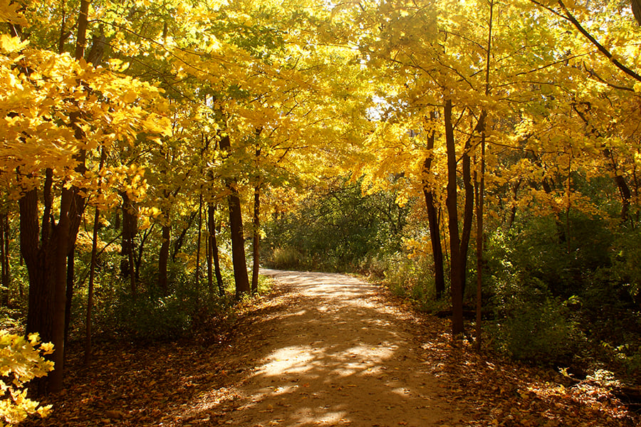
A tree museum in Lisle whose trails wind through living tree collections, restored woodlands, wetlands and prairies on both sides of Route 53, linked by an underpass. Paved, accessible paths circle Meadow Lake and the Conifer Collection near the Visitor Center, while the outer trails are mostly wood chips, some gravel or mowed through prairie. It is the only stop here that charges: you need a daytime admission ticket, which covers parking at more than 30 small lots along the roads, and tickets can sell out at peak times.
Waterfall Glen Forest Preserve
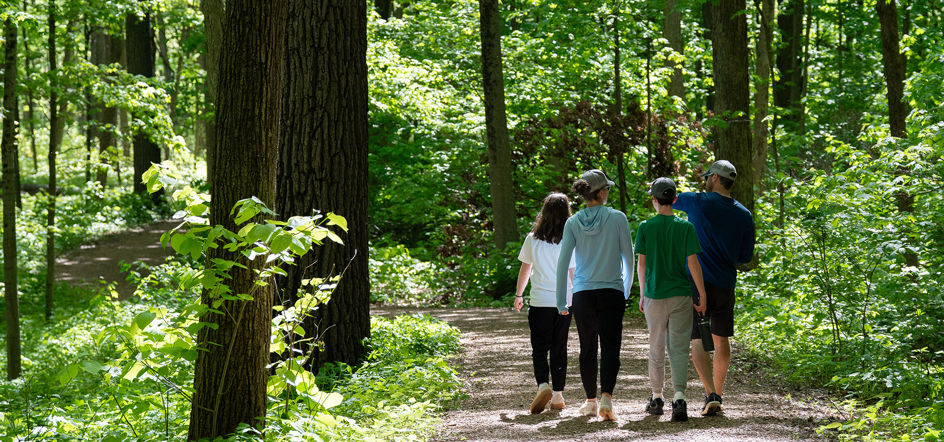
A DuPage County forest preserve near Darien best known for its 9.5-mile crushed limestone loop over rolling, wooded terrain, and for the stepped waterfall on Sawmill Creek that the Civilian Conservation Corps built in the 1930s. Narrow, unmarked footpaths branch off the mapped trails for walkers who want quieter woods, prairie and savanna. It is hillier than most trails near Chicago, and the preserve is open from one hour after sunrise to one hour after sunset.
Palos Trail System
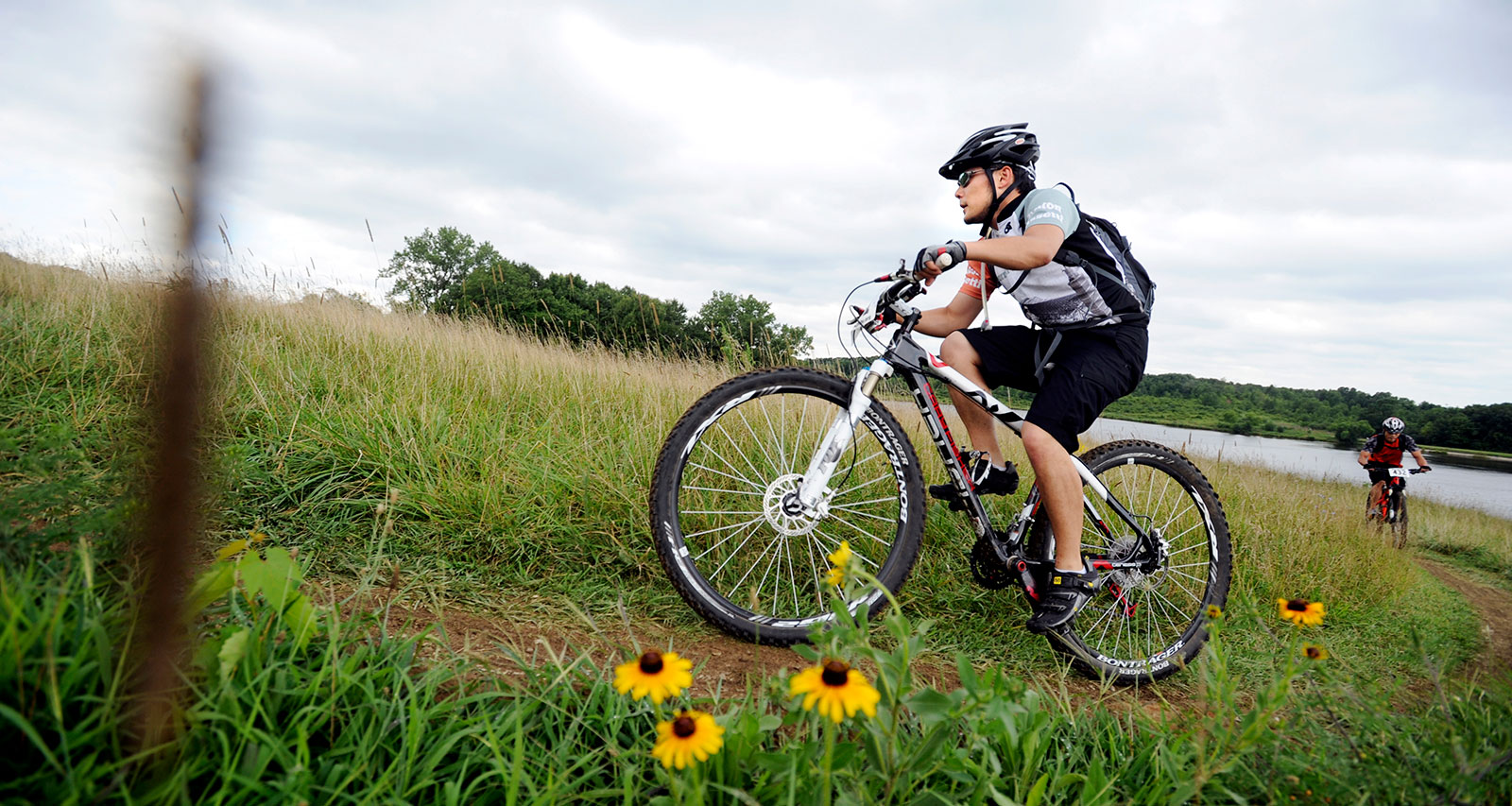
The largest block of preserved land in the Cook County forest preserves: about 15,000 acres of glacier-carved hills, ravines, sloughs and prairie southwest of the city, threaded with unpaved trails that link Swallow Cliff Woods, Maple Lake, Saganashkee Slough and the Little Red Schoolhouse Nature Center. It is the closest thing to real hiking near Chicago, with dirt and gravel paths over rolling ground and the Swallow Cliff limestone stairs for a workout. The narrow trails are shared with mountain bikers and horses, so expect two-way traffic, and the dirt is easily damaged when wet, so give it a day or two after heavy rain.
How we researched this
We read each trail's TrailLink listing for its length, surfaces, end points, activities and parking, and the managing agency's or venue's own pages where they publish more, including the Chicago Park District, the City of Chicago's Riverwalk site, the Forest Preserve District of DuPage County and The Morton Arboretum. For the Palos Trail System, whose official pages could not be read, we used Visit Chicago Southland, the Chicago Area Mountain Bikers' trail page and the Nature in Chicagoland blog. We recorded each value with the sentence it came from. Addresses are a trailhead, parking area or main entrance named on those pages, and drive times are calculated from downtown Chicago to that address without traffic. The Palos Trail System has no single trailhead and no drive time.
We left out trails we could not source well enough to fill the table, including Deer Grove and the Major Taylor Trail, which publish no street address for a trailhead. A blank cell means the source did not state that detail. Conditions, hours and closures change, so check the managing agency before you go.