Backpacking Trips Near the Tri-Cities, TN and VA
Backpacking routes near Johnson City, from the Roan Highlands balds to Mount Rogers and Mount Mitchell, compared on miles, climbing, camping and drive time. Read our take
At a glance
| Option | Distance | Elevation Gain | Route Type | Difficulty | Hiker Rating | Where You Camp | Highlights | Land Manager | Address | Drive From Johnson City |
|---|---|---|---|---|---|---|---|---|---|---|
| 14.2source | 1,808source | Point to Pointsource | Intermediate/Difficultsource | 4.8source | Shelter on routesource | Fall Colors, Views, Wildflowerssource | National Forestsource | Carvers Gap, Roan Mountain, TN 37687source | 57 | |
| 12.3source | 1,872source | Loopsource | Intermediate/Difficultsource | 4.9source | Campsites along the trailsource | Birding, River/Creek, Views, Wildflowers, Wildlifesource | National Forestsource | Massie Gap, Mouth of Wilson, VA 24363source | 146 | |
| 8.6source | 1,351source | Out and Backsource | Intermediate/Difficultsource | 4.7source | Shelter on routesource | Birding, Views, Wildflowers, Wildlifesource | State Parksource | Massie Gap, Mouth of Wilson, VA 24363source | 132 | |
| 9.7source | 1,216source | Out and Backsource | Intermediatesource | 4source | Campsites along the trailsource | Birding, Views, Wildflowers, Wildlifesource | National Forestsource | The Scales, Troutdale, VA 24378source | 149 | |
| 20.8source | 4,809source | Loopsource | Difficultsource | 4source | Fall Colors, River/Creek, Wildlifesource | National Forestsource | Hinkle Branch Trailhead, John Alfred Loop (TN 91), Elizabethton, TN 37643source | 74 | ||
| 17source | 3,579source | Loopsource | Intermediate/Difficultsource | 4.5source | Campsites along the trailsource | Fall Colors, River/Creek, Views, Waterfallsource | National Forestsource | Jerry Miller Trailhead, Marshall, NC 28753source | 54 | |
| 10.6source | 1,530source | Out and Backsource | Intermediate/Difficultsource | 4.5source | Shelter on routesource | Birding, Fall Colors, River/Creek, Views, Wildlifesource | National Forestsource | Lemon Gap, Del Rio, TN 37727source | 138 | |
| 11.7source | 3,651source | Out and Backsource | Difficultsource | 4.6source | Campsites along the trailsource | Fall Colors, River/Creek, Viewssource | National Forestsource | Black Mountain Campground, Micaville, NC 28755source | 100 | |
| 12.1source | 5,010source | Point to Pointsource | Difficultsource | 4.9source | Campsites along the trailsource | Views, Wildflowers, Wildlifesource | National Forestsource | Bowlens Creek Trailhead, Burnsville, NC 28714source | 79 |


Our take
For a first overnight, Massie Gap to Mount Rogers is the easiest call: 8.6 miles out and back with 1,351 feet of climbing, Thomas Knob Shelter near the top has water, and 63 hikers rate it 4.7 out of 5. For big views on a short drive, the Roan Highlands traverse from Carvers Gap is 57 minutes from Johnson City and climbs only 1,808 feet over 14.2 miles, because most of it runs downhill to US 19E.
The real split in this table is distance from home against effort. The Virginia high country around Grayson Highlands and Mount Rogers is gentle, with 1,216 to 1,872 feet of climbing, but it sits more than two hours away by car. The Tennessee and North Carolina routes closer to home climb hard: Holston Mountain gains 4,809 feet, the Carmen AT Loop 3,579 and the Black Mountain Crest Trail 5,010, so they suit hikers who already know how their pack feels on a long grade.
Our picks
- Best first overnight: Massie Gap to Mount Rogers. 8.6 miles and 1,351 feet of climbing to a shelter with water, rated 4.7 by 63 hikers.
- Best views close to home: Roan Highlands: Carvers Gap to US 19E. 57 minutes from Johnson City, with 14.2 miles of open balds and only 1,808 feet of climbing.
- Best loop: Grayson Highlands: Appalachian Trail and Pine Mountain Loop. A 12.3-mile loop with campsites along the trail and wild ponies on the balds, rated 4.9 by 21 hikers.
- Hardest challenge: Black Mountain Crest Trail. 5,010 feet of climbing in 12.1 miles over the Black Mountains, rated 4.9 by 67 hikers.
- Most solitude: Carmen AT Loop (Jerry Miller and Green Ridge). 54 minutes from Johnson City, on trails its author calls lightly used away from the Appalachian Trail stretch.
Loop, out and back, or a shuttle
Two routes end somewhere other than where they start. The Roan Highlands traverse runs 14.2 miles from Carvers Gap to US 19E, and the Black Mountain Crest Trail runs 12.1 miles from Bowlens Creek to the summit of Mount Mitchell, so both need a second car or a ride back. A hostel on US 19E runs a shuttle to Carvers Gap, and with the Blue Ridge Parkway closed north of Mount Mitchell State Park, a car left at the summit has to come up from the Asheville side.
The Grayson Highlands loop at 12.3 miles, Holston Mountain at 20.8 and the Carmen AT Loop at 17.0 bring you back to your car. The four out-and-backs, from Massie Gap and The Scales to Mount Rogers, Lemon Gap to Max Patch and the Mount Mitchell Trail, let you turn around early and shorten the trip if the weather turns.
Permits, fees and fire rules to check before you go
Grayson Highlands State Park charges a day-use fee and a fee for overnight parking at Massie Gap. The Mount Mitchell Trail has no overnight parking at its campground, and the Briar Bottom campground where it begins is closed to vehicles, so plan where to leave the car before you go.
Fire rules matter as much as permits. The Forest Service bans all fires, camp stoves included, on the Appalachian Trail between Hughes Gap and Doll Flats in the Roan Highlands, so the Roan traverse is a cold-food trip. Max Patch has its own camping and fire restrictions, which is why the Lemon Gap route camps near its Lemon Gap end, and the Mount Rogers area has had fire restrictions near the Appalachian Trail in 2026.
Hurricane Helene closures in the Smokies and North Carolina
In the Great Smoky Mountains, the park lists the Big Creek Trail as closed beyond Mouse Creek Falls and the Swallow Fork Trail as closed to all users after Hurricane Helene, with no access to the Walnut Bottom campsites from Big Creek. That rules out the classic Mount Sterling loop from Big Creek until both trails reopen, so look to the Roan, Max Patch or the Black Mountains for a big-mountain overnight instead.
Two of the region's best-known backpacking loops are missing on purpose. The Forest Service still lists the Harper Creek Trail and sections of the Linville Gorge Trail as closed after Hurricane Helene, so the Harper Creek and Linville Gorge Wilderness loops are not in this table.
The options in detail
Roan Highlands: Carvers Gap to US 19E
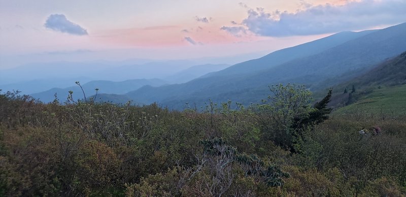
The Appalachian Trail across the grassy balds of the Roan Highlands, from Carvers Gap over Jane Bald, Little Hump and Hump Mountain down to US 19E. The views are 360 degrees for miles at a time, but the balds are exposed to high wind, the climb up Hump Mountain is short and brutally steep, and most of the elevation change is a long descent to the highway. It ends far from where it starts, so plan a shuttle; a hostel on US 19E runs one. The Overmountain Shelter is permanently closed, and the Forest Service bans all fires, stoves included, on the Appalachian Trail between Hughes Gap and Doll Flats.
Grayson Highlands: Appalachian Trail and Pine Mountain Loop
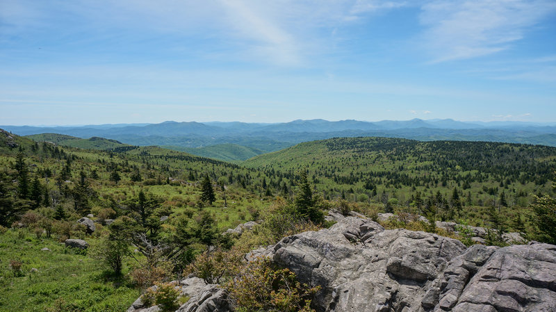
A loop from Grayson Highlands State Park over the rocky crest of Wilburn Ridge, through the Fatman Squeeze, back along the old AT route on Pine Mountain and past The Scales and Wise Shelter. Wild ponies, rhododendron tunnels and open balds make it one of the best-loved overnight loops in Virginia, with several established campsites and springs on the way. Most of it lies in the Mount Rogers National Recreation Area; inside the state park there is no stealth camping, and the park charges a day-use fee plus a fee for overnight parking.
Massie Gap to Mount Rogers
The classic route to the 5,700-foot summit of Mount Rogers, starting from Massie Gap in Grayson Highlands State Park and crossing open balds and Rhododendron Gap, where wild ponies and free-range cattle graze. Thomas Knob Shelter near the top has water, which makes this the gentlest overnight in the set. The summit itself is a dense hemlock grove, so the big views come on the way up. Weather turns fast up here, and the state park charges an entry fee.
Mount Rogers from the Scales
A quieter way to Mount Rogers, starting at The Scales, a high meadow and corral in the Mount Rogers National Recreation Area, and following the Crest Trail and the AT past Thomas Knob Shelter. It is mostly open balds with cattle and wild horses, and a field partway has water, camping and a bear box. The one hiker who rated it calls it great for inexperienced backpackers but warns the signs are confusing in places. Reaching The Scales takes a rough forest road, and the route's author advises a high-clearance vehicle.
Holston Mountain 20-Mile Loop
A hard loop in the Cherokee National Forest between Elizabethton and Bristol, starting from a small field just off TN 91 (John Alfred Loop). It climbs Hinkle Branch to Holston Mountain, drops to Flatwoods Road, then grinds up to Flint Mill Rock for the best view of South Holston Lake before following the ridge to the fire tower. It passes the memorial to two airmen whose jet crashed on the mountain in 1976. The trail guide describes no campsites, so plan an overnight with the Watauga Ranger District or treat it as a very long day.
Carmen AT Loop (Jerry Miller and Green Ridge)
A remote loop on the North Carolina side of the state line southeast of Greeneville, climbing the little-used Jerry Miller Trail to the AT ridge, with a spur to Baxter Cliffs that its author calls the best cliff view in the Southeast, then descending Green Ridge through an isolated cove. Expect solitude away from the AT stretch. Water is the catch: there is some at the start and end and nothing in between, and the Green Ridge descent is hard to find.
Lemon Gap to Max Patch
An out-and-back on the AT from Lemon Gap on the state line through hardwood forest to the open summit of Max Patch, billed by its author as a great introduction to backpacking. Lemon Gap has easier parking than the crowded Max Patch lot. Camp near the Lemon Gap end, where there is a shelter about 2 miles in: the Forest Service restricts camping and fires on Max Patch itself. Creeks are dry by late summer, so carry water.
Mount Mitchell via the Mount Mitchell Trail
A steady climb of more than 3,600 feet from the South Toe River valley to the summit of Mount Mitchell, the tallest peak in the East. Dispersed campsites near miles three and four, by a field and stream and around Commissary Ridge, make it an easy overnight to plan. There is no overnight parking at the campground, and since Hurricane Helene the Briar Bottom campground where the route begins is closed to vehicles, so park nearby and walk in. A shuttle to the summit road turns it into a one-way trip.
Black Mountain Crest Trail
The hardest route here and the most famous: a one-way traverse of the Black Mountains from Bowlens Creek over Celo Knob, Potato Hill and five of the ten highest peaks in the East, ending at the summit of Mount Mitchell. The first 4 miles climb about 3,000 feet. Deep Gap at mile eight is the only real campsite and the only water source, from a small spring, so the water plan decides the trip. You need a car stashed at the summit or a ride back, and with the Blue Ridge Parkway closed north of Mount Mitchell State Park, that car has to come up from the Asheville side.
How we researched this
We read each route's page on Hiking Project for its length, climbing, route type, difficulty, rating, highlights and where people camp, and the Forest Service, National Park Service and Virginia and North Carolina state park pages for trailheads, permits, fees and closures, recording each value with the sentence it came from. Drive times are calculated by map routing from Johnson City without traffic, to the point each trailhead is mapped at. Where You Camp is blank for Holston Mountain because its guide describes no campsites.
The set is routes with an overnight option within about two and a half hours of the Tri-Cities. Besides the Helene closures, we left out the Grandfather Mountain peaks route, whose lower Profile Trail is still closed, the Iron Mountain Trail, which has no hiker ratings, the Mount Le Conte peaks loop, which is farther away and depends on shelter reservations, and the Laurel Fork and Pond Mountain areas near Hampton, for which we found no mapped route with mileage and climbing, and where the Laurel Fork Shelter has been closed since a 2024 fire. Trail conditions change after storms, so check with the land manager before you go.