Best hikes near Gilroy for teens
Updated .
| Option | Entry Fee | Hike Length | Elevation Gain | Route Type | Highlight | Dogs Allowed | Address |
|---|---|---|---|---|---|---|---|
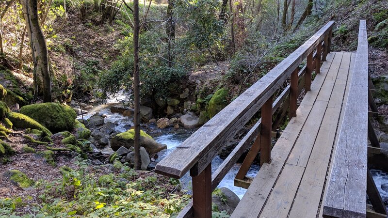
The biggest payoff per mile on this list. A one-mile self-guided loop along Swanson Creek passes five named waterfalls, with numbered plants keyed to a pamphlet you pick up at the trailhead. It is short enough that most teens will want to keep going on the park's other trails afterward, and it works best from late winter into spring when the creek is actually running. The catch is access rather than effort: Uvas requires a pre-paid vehicle day pass every day of the week, holidays and weekends included, and visitors without a reservation are turned away at the gate. | $6source | 1source | 320source | Loopsource | Waterfallssource | Yessource | 8515 Croy Road, Morgan Hill, CA 95037source |
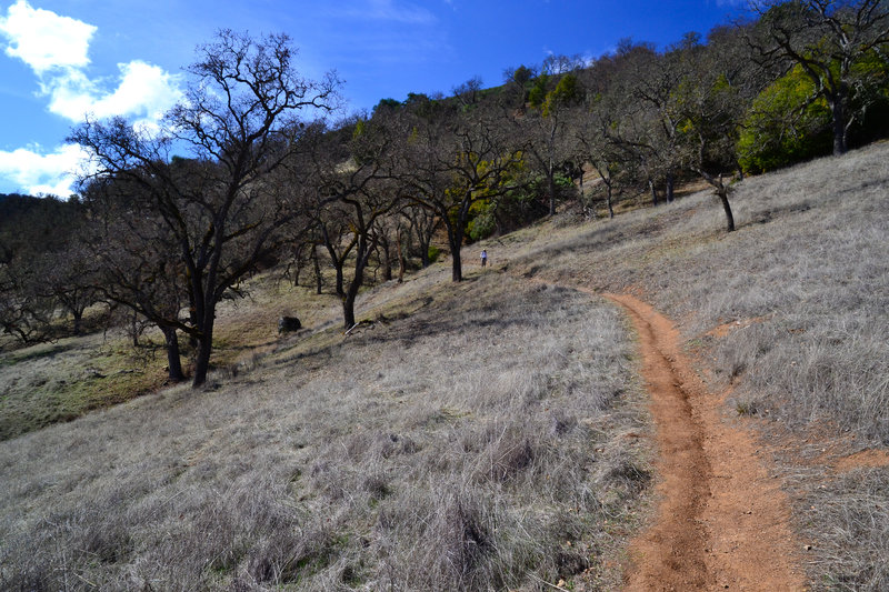
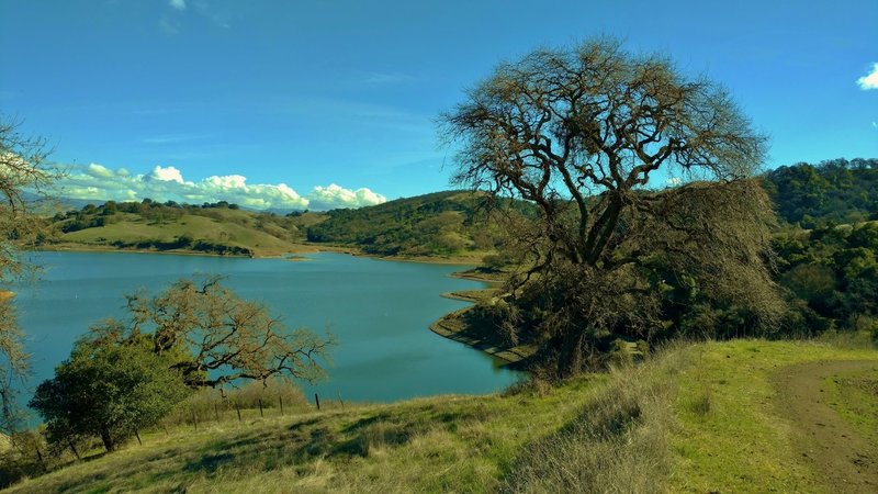
The closest real hike to Gilroy, in a 6,695-acre park in the hills just east of town. The loop climbs out of oak-shaded meadows onto Coyote Ridge, where the lake and the rugged Palassou Ridge sit below you for most of the return. Grass hills that are gold in late summer turn bright green in winter, and spring brings a lot of wildflowers and deer. It starts at the Mendoza Ranch entrance on Roop Road rather than the main lakeside entrance, so check the map before you drive in. | $6source | 6.8source | 797source | Loopsource | Lake or Reservoirsource | Yessource | 4558 Gilroy Hot Springs, Gilroy, CA 95020source |
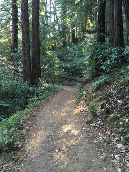
Twenty minutes from downtown Gilroy and the only redwood hike on this list. From the Sprig Day Use Area the route climbs a mile and a half of steady, sometimes steep trail under tall trees, cuts through a genuinely beautiful stand of redwoods on the Tie Camp Trail, then drops back on the Ridge Trail. Mt. Madonna is a 4,605-acre park that also holds the ruins of Henry Miller's summer estate and a small herd of white fallow deer, both worth the detour. Shade the whole way makes this the best pick on a hot afternoon. | $6source | 4.1source | 826source | Loopsource | Redwoodssource | Yessource | 5302 Hecker Pass Road, Gilroy, CA 95020source |
The one to pick if the group wants to swim. Ten miles out and back from the Coe Ranch visitor center, past the ruins of the Madrone Soda Springs resort, down a steep trail and along a creek bed you cross a dozen times, to a natural pool that is often twenty feet wide and seven or eight feet deep with a small sandy beach and flat boulders to lie on. It is the park's most popular swimming hole and a favourite in late spring and early summer, which is also the only window when the water is worth the walk. This is a long day with real climbing on the way out, and poison oak is thick along the Mile Trail, so long trousers are a good idea. | $8source | 10source | 1,400source | Loopsource | Swimming Holesource | Nosource | 9100 E Dunne Ave, Morgan Hill, CA 95037source |
A shorter way into the same backcountry as China Hole, and the better choice if you want a real hike without committing to ten miles. The loop takes in the Coe monument, Frog Lake and two crossings of the Little Fork of Coyote Creek, then runs a fine stretch of ridgetop under manzanita grown to the size of trees. The creek crossing on the Fish Trail is the kind of shady spot teenagers sit down at and refuse to leave. The climb back up to Pine Ridge has some steep pitches but the gain is spread out. | $8source | 6.4source | 1,600source | Loopsource | Lake or Reservoirsource | Nosource | 9100 E Dunne Ave, Morgan Hill, CA 95037source |
Everything teenagers actually want out of a hike, packed into a bit over two miles: a scramble through the Bear Gulch talus caves in the dark, then a climb out to a reservoir tucked between rock walls. Bring a torch or head torch, one each, because the cave sections are genuinely unlit. It is about fifty minutes from Gilroy down Highway 25 to the east entrance, the caves close periodically for bat roosting and can flood after winter rain, so check conditions before you drive. The park entrance fee is the steepest here, though it covers a carload for up to seven days. | $30source | 2.2source | 500source | Loopsource | Caves and Rock Formationssource | Nosource | 5000 East Entrance Road, Paicines, CA 95043source |
The serious one. Five and a bit miles and 1,300 feet of climbing from the same Bear Gulch trailhead, up through Condor Gulch to the ridge, then across the Steep and Narrow section, where the route is carved into the rock with handrails and footholds cut into the stone. That stretch is the reason teenagers remember this hike; it is also the reason anyone uneasy with heights should take a different one. Condors are regularly overhead. There is no shade up top, so start early and carry more water than feels reasonable. | $30source | 5.3source | 1,300source | Loopsource | Summit Viewssource | Nosource | 5000 East Entrance Road, Paicines, CA 95043source |
The shortest walk to the biggest view. A little over half a mile of rocky trail from the upper car park gains the 3,169-foot summit, where the horizon runs from Monterey Bay to the Salinas Valley. The drive is the real commitment: eleven miles of narrow, winding San Juan Canyon Road off Highway 156, not recommended for trailers or anything over 25 feet. The park also runs an observatory with a 30-inch telescope on selected evenings, which makes this a good candidate for staying past sunset instead of a daytime outing. | $6source | 0.6source | 261source | Point to Pointsource | Summit Viewssource | Nosource | San Juan Canyon Road, San Juan Bautista, CA 95045source |
A steady climb through oak woodland onto open ridgetop, with views that improve the whole way up: the Santa Cruz Mountains to the south, then the preserve's own grass and wooded hills to the north once the trail reaches the ridge. It is three miles one way, so plan on six there and back, or turn round at the ridge for a shorter day. March through May the meadows are full of wildflowers and this is one of the better spring walks in south county. Parking is free, but dogs are banned outright, not just leashed, because of the sensitive habitat. | Freesource | 3source | 749source | Point to Pointsource | Wildflowers and Grasslandsource | Nosource | 4289 Casa Loma Rd, Morgan Hill, CAsource |
The longest walk here that never gets steep: 8.4 miles with only 672 feet of climbing, which makes it a good choice for a group with mixed fitness who still want a full day out. The loop runs deep into Calero's backcountry, picks up Cherry Canyon Creek and follows it down to Calero Reservoir, then tracks the shoreline to the dam before returning over open hillside. Wild turkeys, geese and deer are common, and the grass hills turn brilliant green in winter before the wildflowers arrive in March. Start from the Rancho San Vicente entrance on McKean Road, not the boat launch. | $6source | 8.4source | 672source | Loopsource | Lake or Reservoirsource | Yessource | 21131 McKean Road, San Jose, CA 95120source |
A hike with a story attached, which is often what gets a reluctant teenager out of the car. The loop climbs from the Hacienda entrance through the hills of a mercury mining district that ran for more than 135 years and once housed 1,800 miners and their families, passing tunnel mouths, trestle remains and interpretive placards along the way. The mining museum sits beside the trailhead if anyone wants the full version. It is eight miles with 1,454 feet of gain on wide, well-maintained trail, and there is no entry fee. | Freesource | 8source | 1,454source | Loopsource | Mining Historysource | Yessource | 21785 Almaden Road, San Jose, CA 95120source |
The easiest thing on this list to do on a weekday afternoon: one signed loop, free parking and a fifteen minute drive from Gilroy. The trail winds past serpentine rock outcrops through grassland and oak and bay woodland, with views out to Mount Hamilton and Mount Umunhum and a few switchbacks that keep it interesting. It is a certified interpretive site on the historic Juan Bautista de Anza Trail, and spring covers the hillsides in wildflowers. The car park holds 27 cars and fills on weekend mornings, so arrive early or come midweek. | Freesource | 4source | 576source | Loopsource | Wildflowers and Grasslandsource | Nosource | 550 Palm Ave., Morgan Hill, CAsource |