Scenic drives in New Hampshire in summer
Updated .
| Option | Length | Region | Byway Status | Highways | Towns | Loop or One Way |
|---|---|---|---|---|---|---|
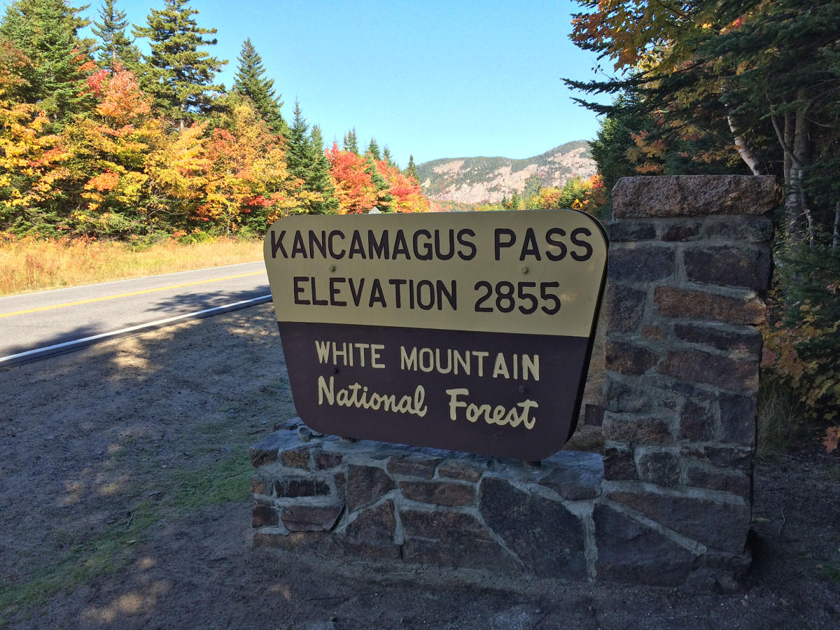
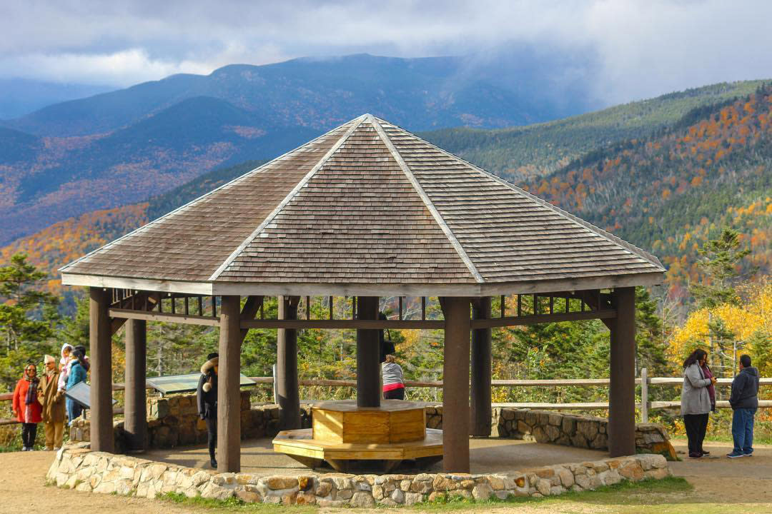
The Kanc is the drive most people picture when they think of New Hampshire: a two-lane road over a 3,000-foot pass through the White Mountain National Forest with no gas stations, restaurants or hotels along the way. In summer the draw is the Swift River, which runs beside the road and feeds the swimming holes and cascades at Lower Falls, Rocky Gorge and Sabbaday Falls, plus six campgrounds and a string of trailheads. It is famous for fall foliage, which also means it is the most crowded drive on this list in October, and the pull-offs fill early on clear weekends. Fill the tank before you start, because you will not pass a pump for 34 miles. | 34.5source | White Mountainssource | National Scenic Bywaysource | NH Rt. 112source | Conway and Lincolnsource | One waysource |
This is the big loop that strings the White Mountains' greatest hits together: it takes in the Kancamagus Highway, Crawford Notch and Franconia Notch in one circuit, so you pass three mountain notches without repeating a mile. It can be driven in a single long day, but it is really a frame for a multi-day trip, with the Mount Washington Cog Railway, the Flume Gorge, Echo Lake and Omni Mount Washington Resort all on or just off the route. Because it overlaps the Kancamagus, picking this instead of the Kanc is a choice about how much time you have rather than about different scenery. Towns like North Conway and Jackson give you places to stop, eat and stay along the way. | 100source | White Mountainssource | National Scenic Bywaysource | North Conway and Jacksonsource | Loopsource | |
This is the rare stretch of interstate that counts as a scenic drive: to protect the notch, I-93 narrows to a two-lane parkway for about eight miles between the Kinsman and Franconia ranges. It is the shortest real drive here and the densest in things to stop for, with the Flume Gorge at the south end, the Basin, Echo Lake and the Cannon Mountain aerial tramway strung along it, and the site of the Old Man of the Mountain part-way up. That makes it a good half-day for families who do not want to spend hours in the car, and an easy add-on to a Kancamagus day since the two meet near Lincoln. The trade-off is that it is a highway with limited pull-offs, so you exit for the sights rather than stopping wherever you like. | White Mountainssource | I-93source | Lincolnsource | One waysource | ||
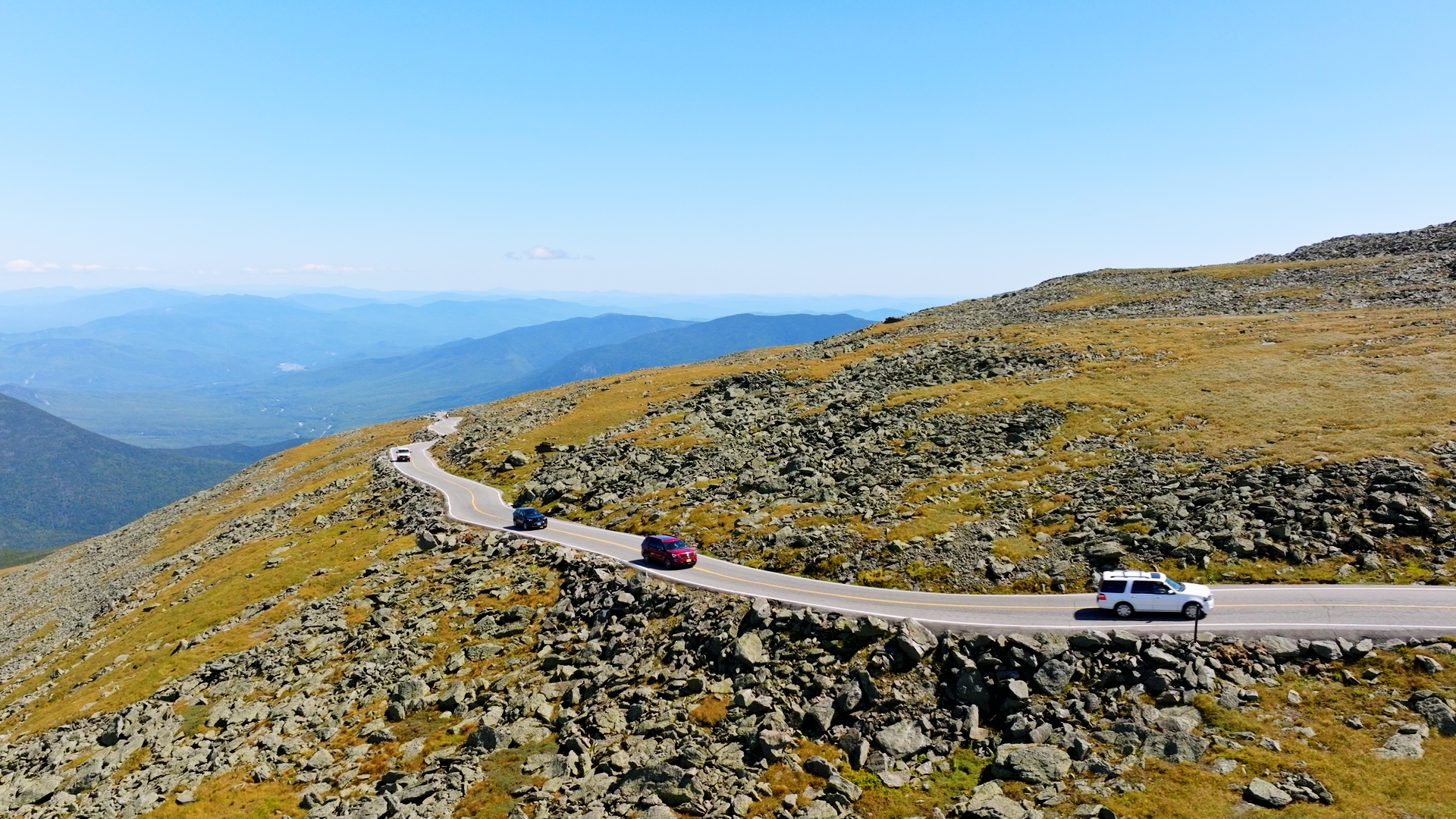
The only drive here that ends on a summit: a private toll road, open since 1861, that climbs 7.6 miles from Pinkham Notch to the 6,288-foot top of Mount Washington through four ecological zones. It is a paid attraction rather than a public highway, and it is seasonal, which is what makes it a summer drive in practice. The road is narrow, averages a 12 percent grade with pitches of 18 and 22 percent, and has no guardrails, so it is not for everyone: the operator sells guided van tours for people who would rather not drive it themselves. Check the summit forecast before you go, because the weather at the top is routinely nothing like the weather at the base. | 7.6source | White Mountainssource | Mt. Washington Auto Road, off Route 16source | Pinkham Notchsource | One waysource | |
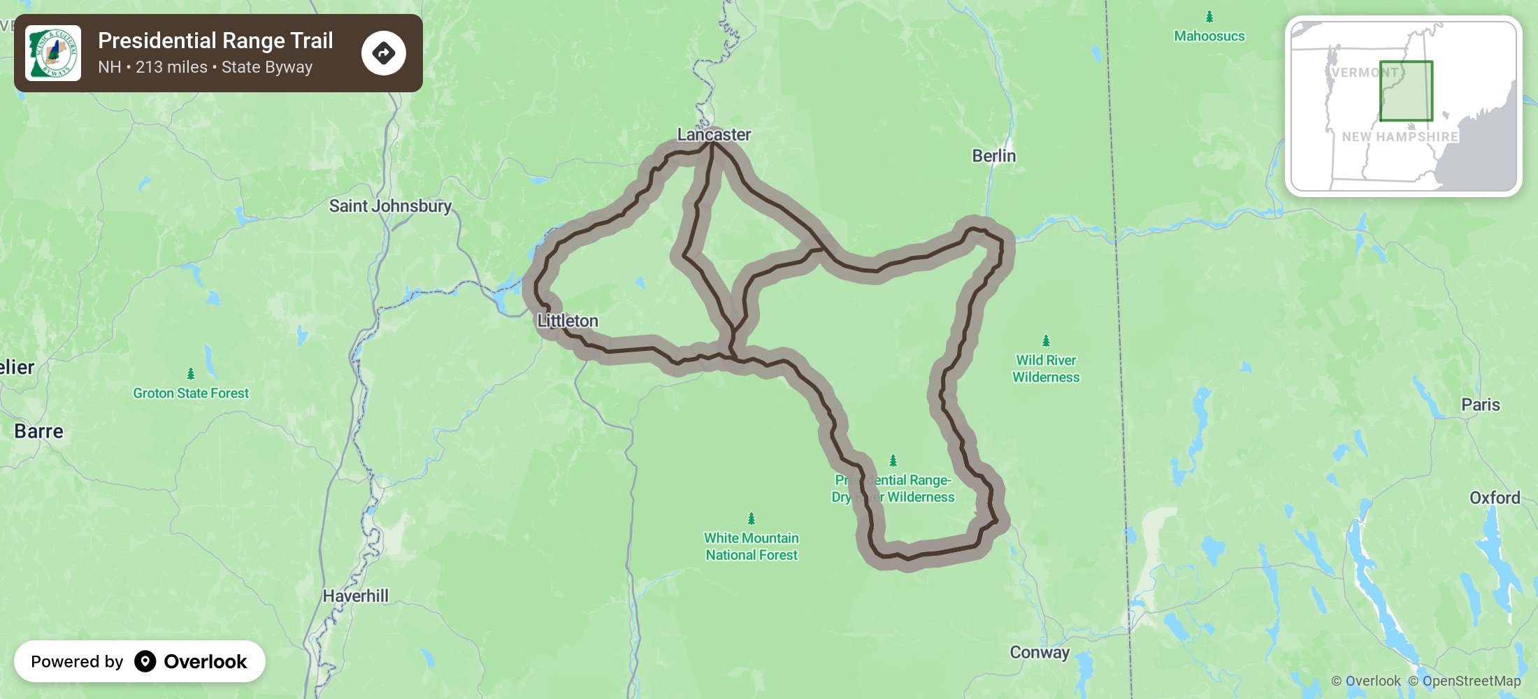
The longest White Mountains route on this list, and less a single road than a network of loops on the north and west sides of the Presidential Range. The point of it is the view of the range itself, which sits as a backdrop for long stretches and then swings into the windshield as you round curves on US 2, with Pinkham Notch adding a high mountain pass at the eastern end. Because it is a set of connected loops rather than one line, it suits travellers who want to spend two or three days working through the northern White Mountains rather than driving one route end to end. Littleton and Lancaster are the natural bases at the western end. | 213source | White Mountainssource | State Scenic Bywaysource | US 2 and US 302source | Littleton and Lancastersource | |
This is the drive to pick if you want wilderness rather than villages: it runs from Gorham all the way north to the Connecticut Lakes and the Canadian border, through the least populated corner of the state. The name is not marketing, the stretch known as Moose Alley is one of the better places in New England to see moose, and summer dawn and dusk are when people go looking. Along the way it passes the Thirteen Mile Woods on the Androscoggin, the Umbagog wildlife refuge and Dixville Notch. Services are thin and the distances are long, so treat it as a full day with fuel and food planned rather than a casual afternoon. | 128source | Great North Woodssource | State Scenic Bywaysource | NH 16, NH 26, NH 145 and US 3source | Gorham, Berlin and Milansource | One waysource |
A compact loop around the northern edge of the White Mountain National Forest that doubles as a tour of New Hampshire's logging and paper-mill country. It runs US 2 west from Gorham to Lancaster, cuts north and east on US 3 and NH 110 through old mill towns, then comes back down NH 16 beside the Androscoggin, the river that once carried logs to the mills at Berlin and Gorham. The industrial history is the hook, with the Northern Forest Heritage Park in Berlin the main stop, and the northern slopes of the Presidential Range in view for much of the western leg. It is a good half-day alternative for anyone who has already driven the notches and wants the quieter side of the mountains. | 72source | Great North Woodssource | State Scenic Bywaysource | US 2, US 3, NH 110 and NH 16source | Gorham, Lancaster and Berlinsource | Loopsource |
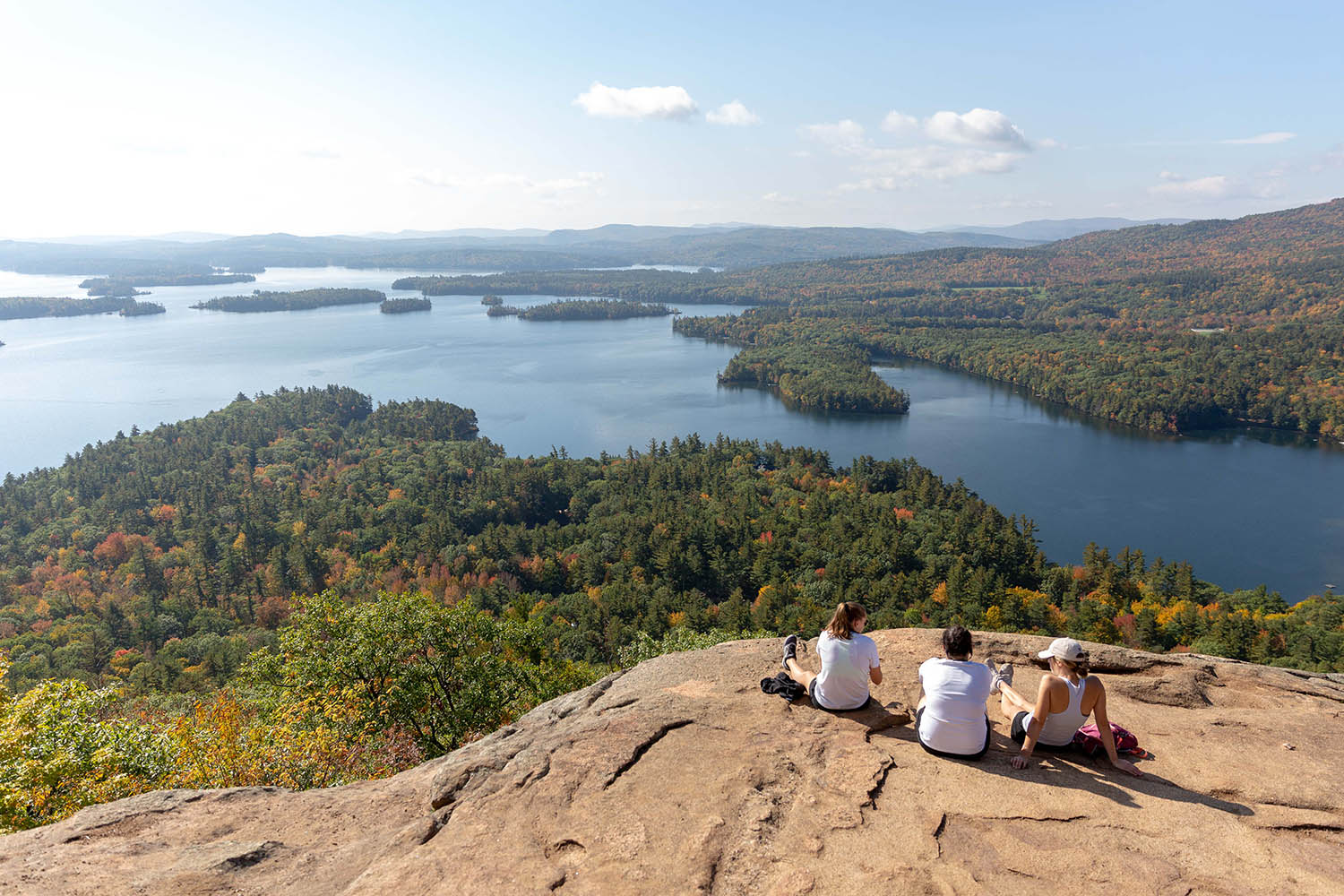
A full circuit of Lake Winnipesaukee, the largest lake in the state, and the most summer-shaped drive on this list. The western side on NH 11 gives you the open lake views and the climb up Mount Major; the eastern side is quieter and takes in Wolfeboro, which bills itself as the oldest summer resort in America. Weirs Beach in the middle is the loud, fun end of the spectrum with arcades and amusements, and the MS Mount Washington runs cruises from there if you want to swap the car for a boat. Expect traffic on July and August weekends, especially around Meredith and Weirs Beach. | 97source | Lakes Regionsource | State Scenic Bywaysource | NH 11source | Alton, Gilford, Laconia, Meredith, Moultonborough and Wolfeborosource | Loopsource |
New Hampshire only has eighteen miles of coastline and this drive covers essentially all of it, running the length of the shore between Seabrook and Portsmouth on Routes 1A and 1B. It is the shortest of the state byways and the one most worth going slowly on: it strings together ten state park units, the beaches and boardwalk at Hampton Beach, tidepools and old forts at Odiorne Point, Rye Harbor for fishing and boat trips, and finishes in Portsmouth's historic downtown. Because it hugs the water the whole way it is also the flattest and easiest drive here, and it carries US Bicycle Route 1, so expect cyclists. Summer weekends at Hampton Beach are busy and parking is the main constraint. | 18.5source | Seacoastsource | State Scenic Bywaysource | NH Routes 1A & 1Bsource | Portsmouth, New Castle, Rye, North Hampton, Hampton and Seabrooksource | One waysource |
A short loop just inland from the coast through four of New Hampshire's oldest towns, settled in 1638 and 1639, where the draw is colonial architecture rather than landscape. Exeter was the state capital during the Revolution and holds the American Independence Museum, which displays an original Dunlap broadside of the Declaration of Independence and one of the three surviving original Purple Hearts. Between the villages the road crosses fields, woodland and salt marsh with occasional ocean views. It pairs naturally with the Coastal Byway: the two together make a full day on the Seacoast without much driving. | 21source | Seacoastsource | State Scenic Bywaysource | Route 101E, Route 27, Route 108 and Route 150source | Exeter, Hampton Falls, Hampton and Kensingtonsource | Loopsource |
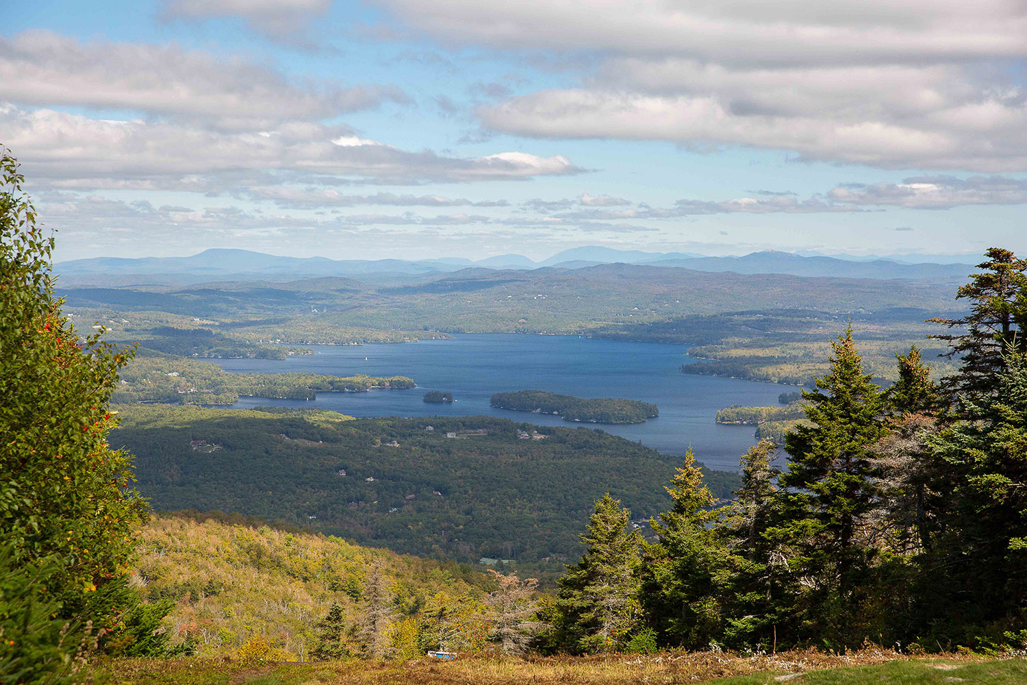
A loop right around Lake Sunapee, one of the cleanest lakes in the state, linking the three towns on its shore. The lake itself is only intermittently in view, glimpsed between forested hills and fields rather than followed shoreline-style, and the drive is as much about the village centres as the water: Sunapee Harbor, Newbury Harbor and New London, each with a visitor centre. Mount Sunapee and The Fells, a lakeside historic estate and garden, are the two big stops. At under 40 miles it is a genuine half-day, which makes it a realistic option for anyone based in the Upper Valley or around Concord rather than up north. | 39source | Dartmouth-Lake Sunapeesource | State Scenic Bywaysource | Sunapee, Newbury and New Londonsource | Loopsource | |
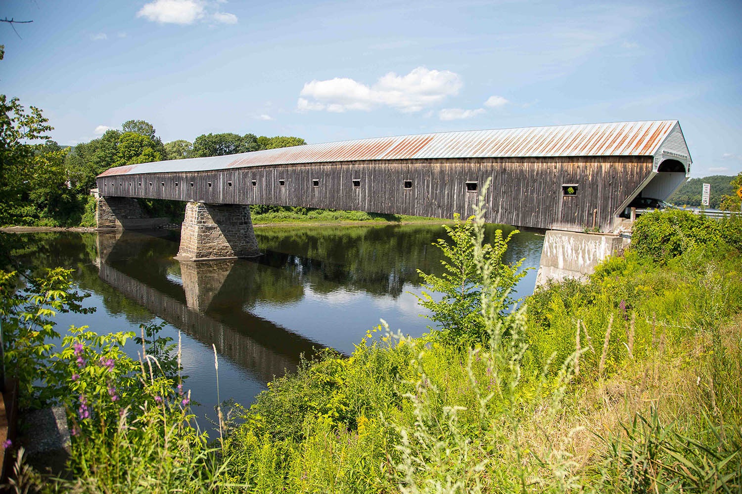
The long one: a National Scenic Byway that runs almost the entire western border of the state, following the Connecticut River north from West Chesterfield up to Littleton. It is a river-valley drive rather than a mountain one, through farmland, terraces and old river towns, and it collects a lot of history along the way, including the Cornish-Windsor covered bridge and the Saint-Gaudens National Historic Site. Hanover, home to Dartmouth College, is the natural halfway stop. Because it is roughly 140 miles in New Hampshire alone and connects to the Vermont and Massachusetts sections, most people drive a segment rather than the whole thing. | 140source | National Scenic Bywaysource | NH 12 and NH 12Asource | West Chesterfield to Littletonsource | One waysource | |
Named for the nineteenth-century printmakers whose lithographs this landscape is supposed to resemble, this byway runs through five small central New Hampshire towns of hayfields, stone walls, covered bridges and village greens. It is the least dramatic drive here and the most everyday-pleasant: the summer version is kayaking the Contoocook or Blackwater rivers, hiking in Rollins State Park up Mount Kearsarge, and stopping at orchards and farm stands. Daniel Webster's birthplace and the Franklin Pierce Homestead bookend the route. Its real advantage is location, roughly half an hour from Concord, which makes it the easiest of these drives to reach from southern New Hampshire. | 40source | Merrimack Valleysource | State Scenic Bywaysource | Henniker, Hopkinton, Warner, Webster and Salisburysource | ||
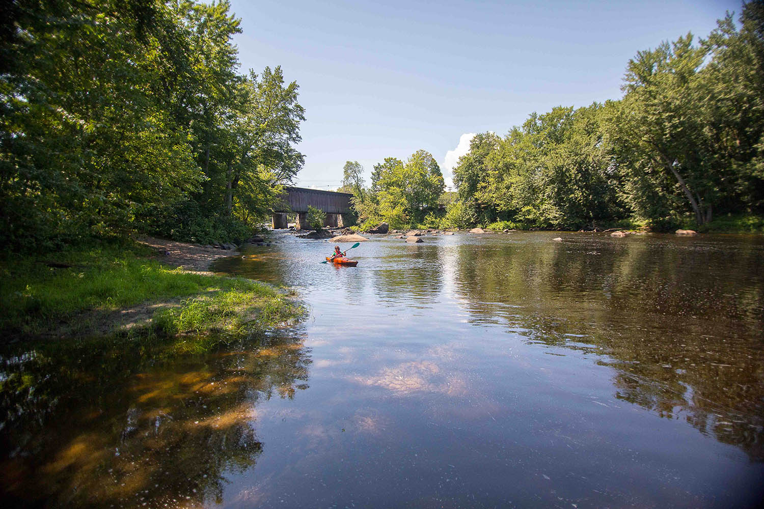
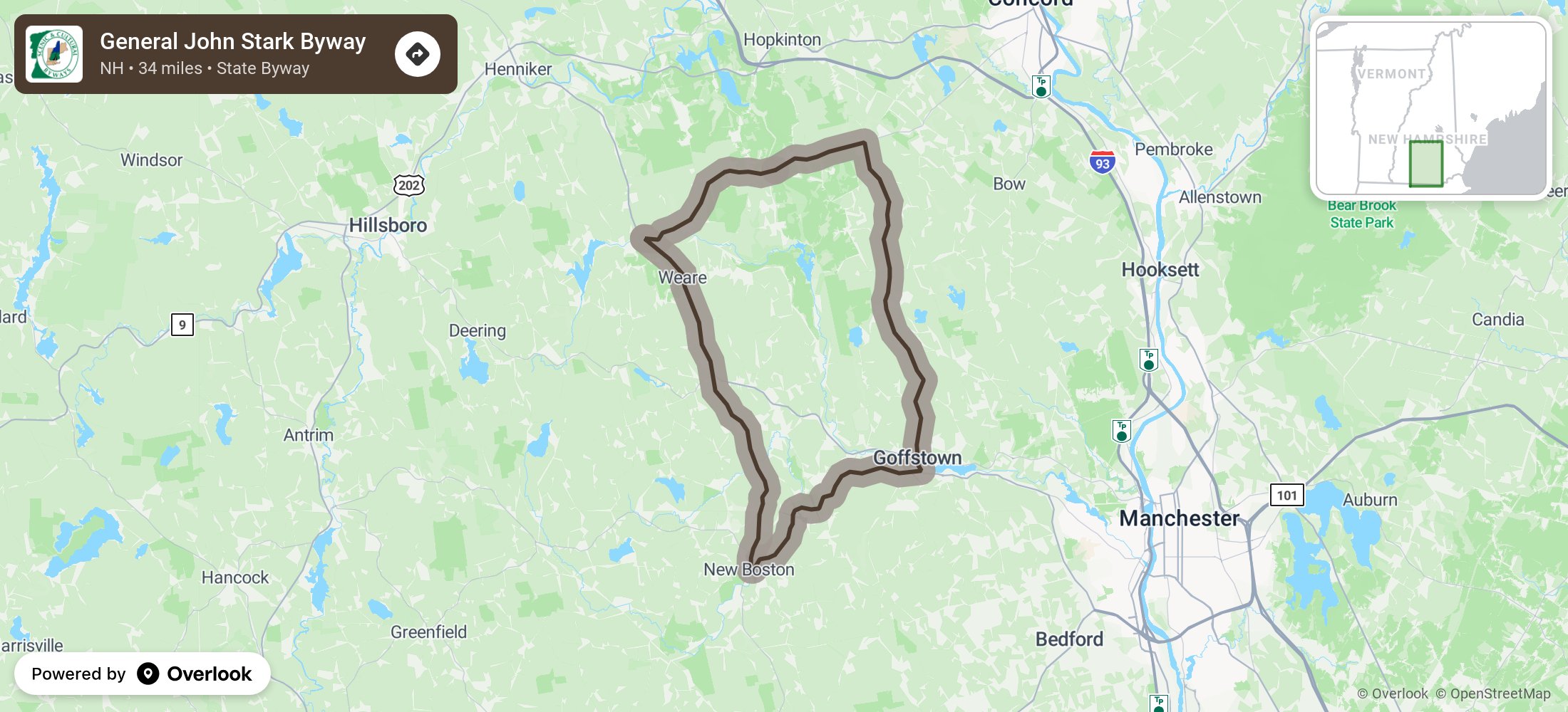
The most off-the-beaten-path drive on this list, and the closest to a city: a circular route through four rural towns about twenty minutes from Manchester, designated a state byway only in 2008. It is built around John Stark, the Revolutionary War general credited with the state motto "Live Free or Die", and it takes in the Molly Stark cannon, the Stark family cemetery in Dunbarton and other sites tied to the family. The Piscataquog River runs alongside much of the route, and old railroad beds through Weare, New Boston and Goffstown are now walking and biking paths. Summer here means agricultural fairs and farmers' markets rather than mountain views, so choose it for small-town New Hampshire rather than scenery. | 34source | Merrimack Valleysource | State Scenic Bywaysource | Goffstown, Dunbarton, Weare and New Bostonsource | Loopsource | |
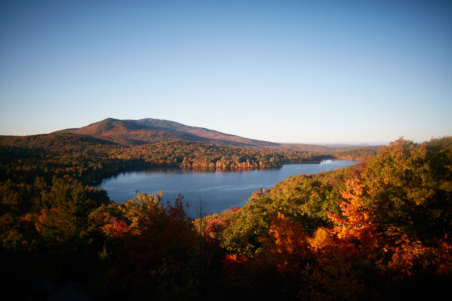
The state tourism office's own southwestern loop, and the only drive here in the Monadnock region. It circles out from Keene through Marlborough, Jaffrey, Peterborough, Hancock and Marlow, a run of the towns people mean when they say quintessential New England, with Mount Monadnock as the constant reference point. Peterborough is the cultural anchor and Monadnock State Park the main outdoor stop, so most people combine the drive with the hike up the mountain. It is not a designated scenic byway, just a route the state publishes, which means fewer signs and less traffic than the named byways further north. | 80source | Monadnocksource | Rt. 101 and Rt. 124source | Keene, Marlborough and Jaffreysource | Loopsource |