What is the average temperature in Las Vegas in October?
Updated .
| Option | October Average Temperature | October Average High | October Average Low | October Record High | October Rainfall | Elevation | Area |
|---|---|---|---|---|---|---|---|
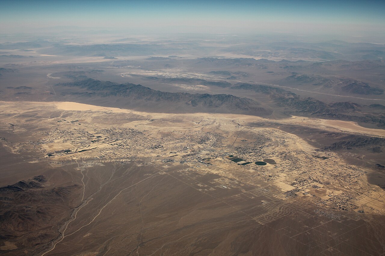
An average October day in Las Vegas reaches about 81°F in the afternoon and falls to about 60°F overnight, which works out to a daily mean near 70°F. The readings come from the NOAA station at Harry Reid International Airport, right beside the Strip, so this row describes the Las Vegas a visitor actually stands in rather than a regional average. Rain is close to irrelevant: about a third of an inch is normal for the whole month. Heat has not entirely gone, though. The October record at this station is 104°F, so an early-month afternoon can still feel like summer. | 70.4source | 81.2source | 59.6source | 104source | 0.32source | 2,000source | Las Vegas Valleysource |
Henderson is the valley's second city, about 16 miles southeast of Las Vegas, and its October numbers land within a couple of degrees of the airport's: highs near 78°F and lows near 60°F. Read that small gap as noise rather than signal, because this row's climate table is credited to Weather.com rather than to the NOAA normals behind most of the table. What it does establish is that no part of the built-up valley is meaningfully cooler in October than any other part. | 78source | 60source | 100source | 0.36source | 1,867source | Las Vegas Valleysource | |
Red Rock Canyon is about 15 miles west of Las Vegas, pressed against the Spring Mountains, and the roughly 3,870-foot elevation of its scenic loop is what makes it feel unlike the Strip. October afternoons average about 76°F, four or five degrees below the airport, but the nights are the real difference: an average low of 47°F is more than 12 degrees colder than the city, so an early start on the trails wants a jacket even when the afternoon does not. These figures come from the Spring Mountain Ranch State Park station inside the conservation area, credited to the Western Regional Climate Center. | 76.1source | 47.3source | 97source | 0.52source | 3,870source | Spring Mountainssource | |
The town of Mount Charleston sits at about 7,510 feet in the Spring Mountains northwest of Las Vegas, and it is the coolest place in this table that is still a short drive from the Strip. October averages a high of 62°F and a low of 35°F, so the valley's 80-degree afternoons become sweater weather and the nights flirt with frost. It is also the wettest Nevada row here, near 1.8 inches of October precipitation against a third of an inch in the city. When Las Vegas in October feels too warm, this is the standard local answer. | 48.2source | 61.6source | 34.7source | 83source | 1.79source | 7,510source | Spring Mountainssource |
Boulder City was built to house the workers who put up Hoover Dam, and it sits about 26 miles southeast of Las Vegas at 2,510 feet, a few miles from Lake Mead. Its October readings, from a Western Regional Climate Center station, track the airport closely: highs near 80°F, lows near 59°F, and the same negligible third of an inch of rain. For a visitor the difference is water rather than air, since this is the jumping-off point for the lake and the dam. | 79.8source | 58.5source | 106source | 0.32source | 2,510source | Lake Mead & the Colorado Riversource | |
Overton is part of Moapa Valley at the north end of Lake Mead, about an hour northeast of Las Vegas, and it runs warmer by day and colder by night than the city: an average October high near 86°F against lows near 52°F. That 33-degree daily swing is the widest of the Nevada valley-floor rows and is what open desert away from pavement does. October has reached 111°F here. Its Wikipedia article states no elevation, so that cell is left blank. | 69.1source | 85.8source | 52.3source | 111source | 0.48source | Lake Mead & the Colorado Riversource | |
Laughlin is the warmest Nevada town in this table in October, with average highs near 89°F, because at 560 feet it is also the lowest. It lies 90 miles south of Las Vegas on the Colorado River, downstream of Davis Dam and across the water from Bullhead City, Arizona. Nights stay mild at about 61°F. If the point of an October trip is to still be on the water, this is the row to sort by. | 75source | 88.7source | 61.3source | 109source | 0.34source | 560source | Lake Mead & the Colorado Riversource |
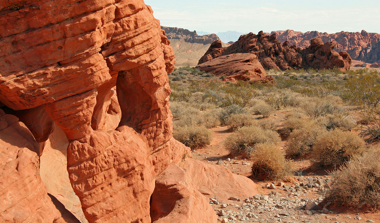
Nevada's oldest state park sits in the Mojave Desert about 50 miles northeast of Las Vegas, and October is the month its red sandstone becomes comfortably walkable: highs of 82°F, lows of 60°F, and a daily mean of 71°F, almost exactly the Las Vegas figure. The October record is 102°F, so the first half of the month can still be hot enough to make a midday hike a bad idea. Shade is scarce here, which matters more than the averages let on. | 71.2source | 82.5source | 60source | 102source | 0.42source | 1,581source | Mojave Desertsource |
Pahrump lies about 50 miles west of Las Vegas over the mountains, in the Mojave Desert at 2,697 feet. Its October afternoons are close to the city's at about 81°F, but its nights are far colder at about 45°F: a 36-degree daily swing, the widest in this table. Warm afternoons and genuinely cold mornings is what a desert basin does in October once it is away from a city's heat. | 62.8source | 80.8source | 44.8source | 103source | 0.38source | 2,697source | Mojave Desertsource |
Searchlight is a small town about an hour south of Las Vegas, sitting at 3,547 feet on the saddle between two mountain ranges, and its own article makes the point that this height keeps it cooler than the low Mojave towns nearby. October highs average 77°F with lows of 54°F. Its climate table comes from the Western Regional Climate Center and publishes no monthly mean, so that cell is blank. | 77source | 53.9source | 98source | 0.52source | 3,547source | Mojave Desertsource | |
Mesquite sits 80 miles northeast of Las Vegas on Interstate 15 at the Arizona line, in the Virgin River valley at the northeastern edge of the Mojave Desert. October is warm by day and cool by night: highs of about 87°F against lows near 49°F. At 0.64 inches it is also the wettest of the low-desert Nevada rows, though that is still under an inch for the month. Its station publishes no monthly mean. | 86.7source | 48.7source | 106source | 0.64source | 1,601source | Mojave Desertsource | |
Death Valley is the hottest, driest and lowest of the national parks, and October is the first month when a visit is comfortable rather than hazardous: average highs of 93°F, well down from summer, with lows near 64°F. It is still the warmest row in this table by four degrees, and the month's record is 114°F. Rain is almost nonexistent at 0.12 inches. These readings describe the valley floor around Furnace Creek rather than the ranges that surround it, and the park spans too much elevation for one figure, so that cell is blank. | 78.9source | 93.3source | 64.4source | 114source | 0.12source | Mojave Desertsource | |
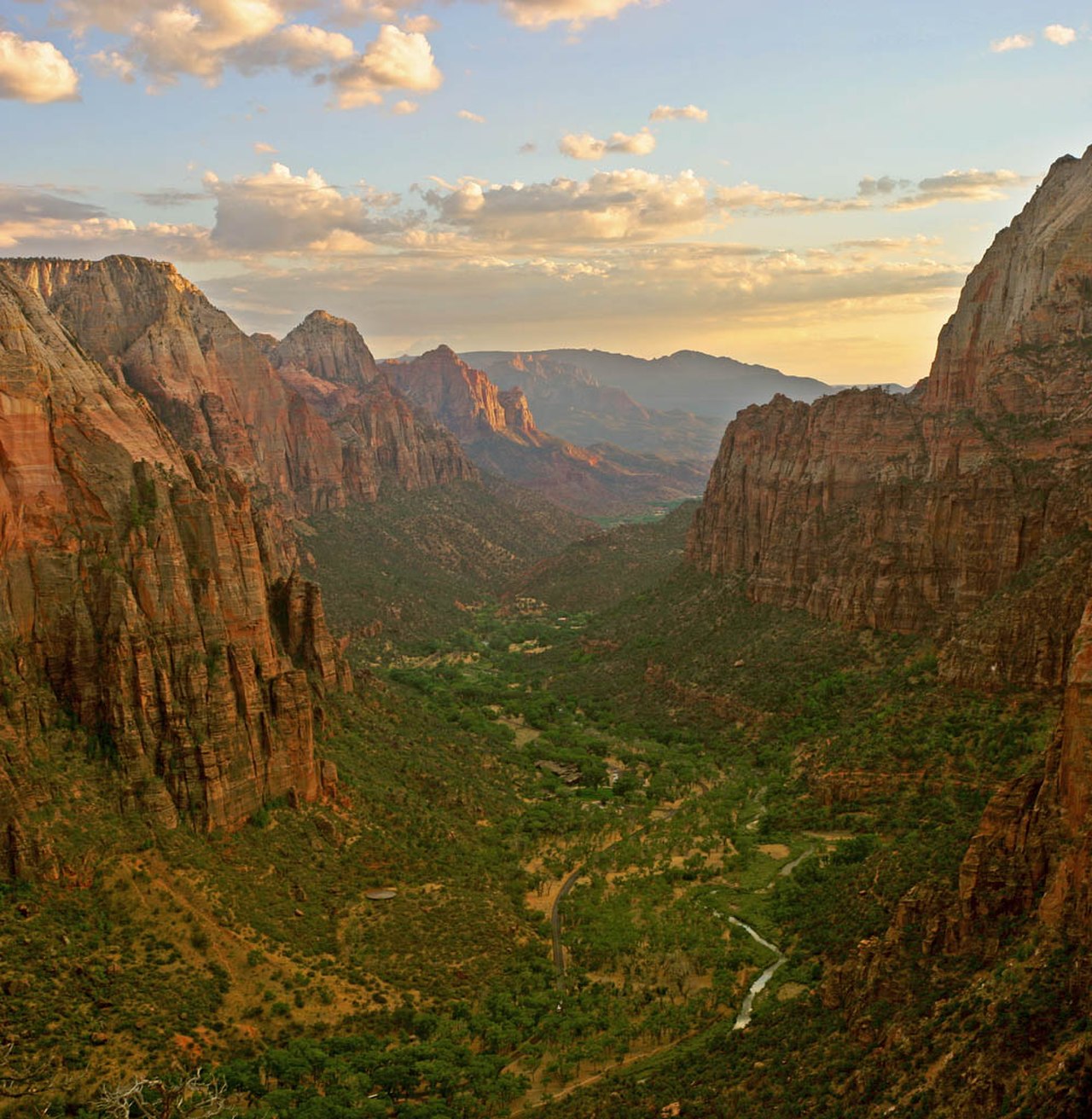
Zion is the classic October trade for a Las Vegas trip: an average high of 78°F instead of the city's 81°F, but nights at 49°F and more than an inch of rain across the month. The park runs from 3,666 feet at Coalpits Wash to 8,726 feet at Horse Ranch Mountain, so a rim trail is nothing like the canyon floor these readings describe, and no single elevation fits the park. | 63.4source | 78.1source | 48.8source | 99source | 1.22source | Southwestern Utahsource | |
Bryce is the cold end of this table: an average October high of 58°F and an average low of 32°F, exactly freezing, with 1.73 inches of precipitation. The rim stands between 8,000 and 9,000 feet, more than a mile above Las Vegas, which is the entire explanation. It sits a short drive beyond Zion on the usual loop out of Las Vegas, yet its nights run some 17 degrees colder, which is worth knowing before packing for both. | 45source | 58.2source | 31.9source | 80source | 1.73source | Southwestern Utahsource | |
St. George is the largest city in southwestern Utah and the natural overnight stop between Las Vegas and Zion. October there is a few degrees milder than Las Vegas by day at about 79°F and a dozen degrees colder at night at about 47°F. It sits at 2,530 feet on the northeastern tip of the Mojave Desert, which is why it reads as a cooler version of Las Vegas rather than as mountain weather. | 63source | 78.8source | 47.3source | 101source | 0.77source | 2,530source | Southwestern Utahsource |
The South Rim village sits at 6,804 feet, and in October that means an average high of 65°F with an average low of 33°F: near-freezing mornings on the rim while Las Vegas is still in the 80s. It also collects 1.23 inches of rain for the month, roughly four times the city's total. Anyone driving out from Las Vegas for a day at the canyon in October should read this row as an instruction to pack a real coat. | 49source | 64.6source | 33.3source | 89source | 1.23source | 6,804source | Northern Arizonasource |
Kingman sits at 3,471 feet on the eastern edge of the Mojave Desert in Mohave County, Arizona, and is the usual fuel-and-food stop on the drive from Las Vegas toward Route 66 and the canyon's western rim. October highs average 79°F with lows near 48°F: a plateau version of Las Vegas weather, with similar afternoons and notably colder mornings. | 63.6source | 78.9source | 48.3source | 102source | 0.74source | 3,471source | Northern Arizonasource |