Wheelchair Accessible Nature Preserves Near Scottsdale
Updated .
| Option | Entry Fee | Address | City | Setting | Accessible Trail Surface | Accessible Trail Length | Restrooms |
|---|---|---|---|---|---|---|---|
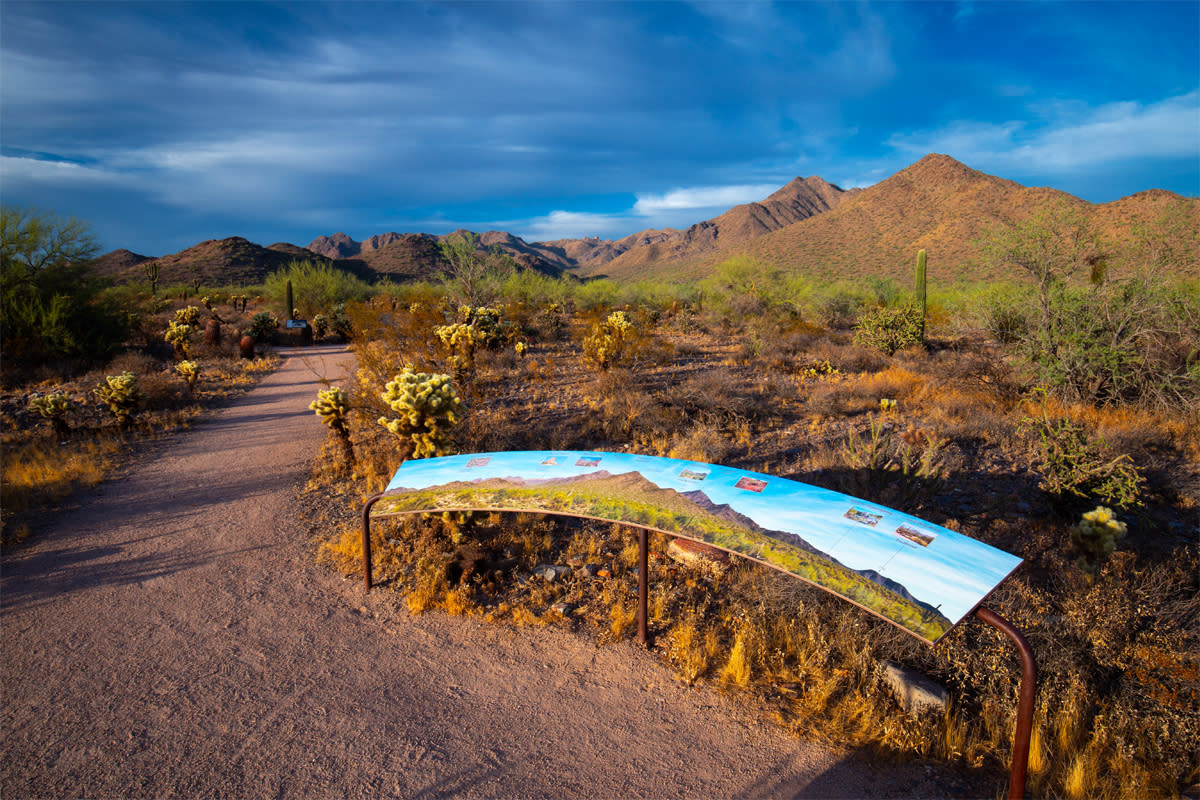
The Gateway Trailhead is the front door to Scottsdale's 30,500-acre McDowell Sonoran Preserve, and the Bajada Nature Trail is the piece of it built for wheels. It is a half-mile figure-eight over stabilized decomposed granite with 15 interpretive stations, so you can cut it to a quarter mile without backtracking. The trailhead itself is unusually well equipped for a desert preserve: paved parking, restrooms, shade ramadas and drinking water. There is no shade on the trail once you leave the ramadas, which makes this a cool-season or early-morning outing. | Freesource | 18333 N. Thompson Peak Pkwy, Scottsdale, AZ 85255source | Scottsdalesource | Sonoran desertsource | Stabilized granite or gravelsource | 0.5source | Restrooms on sitesource |
Lost Dog Wash is the Preserve's south-Scottsdale entrance, and its Kovach Family Nature Trail is the gentlest graded accessible route in this whole set: a 0.5-mile double loop averaging a 3 percent grade and topping out at 5.7 percent. The surface is stabilized decomposed granite with a few concrete sections, and the route from the accessible parking to the trail start is itself built to accessibility standards, which is not something most desert trailheads can say. Thirteen plaques along the way explain how desert plants and animals raise their young. Like Gateway, it is free, and it has restrooms, ramadas and water at the trailhead. | Freesource | 12601 N. 124th St, Scottsdale, AZ 85259source | Scottsdalesource | Sonoran desertsource | Stabilized granite or gravelsource | 0.5source | Restrooms on sitesource |
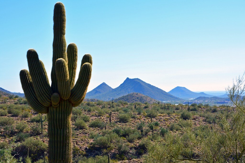
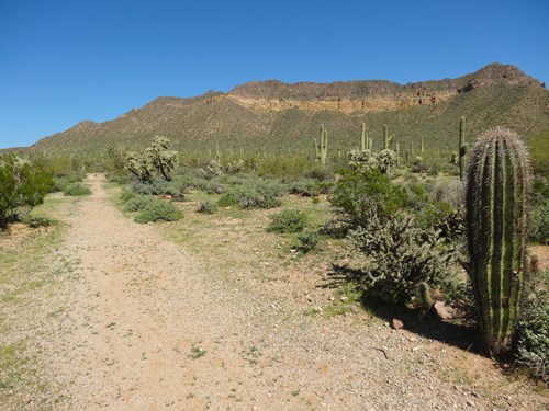
Usery Mountain sits against the Usery range on the far east edge of the valley, and its Merkle Trail is the county park system's one genuinely barrier-free loop: a wide, flat circuit around Merkle Hill with interpretive signs and grades held between 3 and 5 percent. Sources disagree slightly on its length, with Maricopa County listing 0.9 miles and Visit Phoenix calling it a 1-mile path. The surface is hard-packed gravel rather than pavement, so a manual chair will feel it, but the payoff is saguaro forest and views toward the Superstitions. Unlike the free city preserves nearby, this one charges a per-vehicle entry fee at the gate. | $10source | 3939 N. Usery Pass Rd, Mesa, AZ 85207source | Mesasource | Sonoran desertsource | Stabilized granite or gravelsource | 0.9source | Restrooms on sitesource |
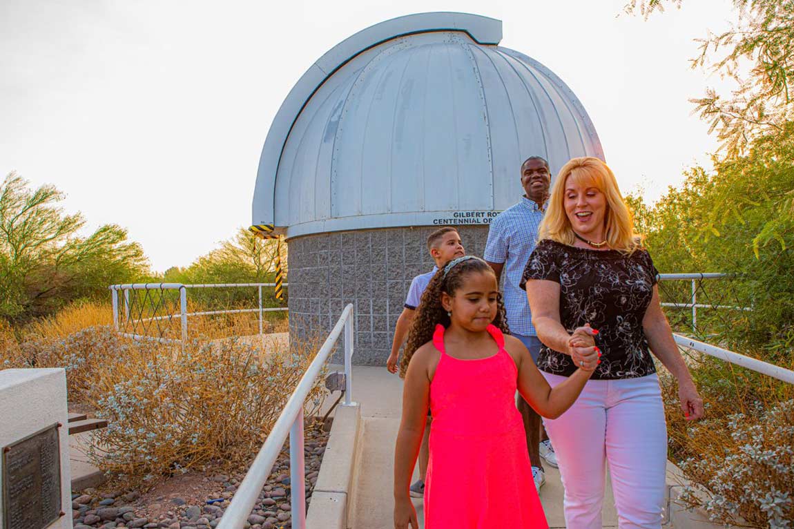
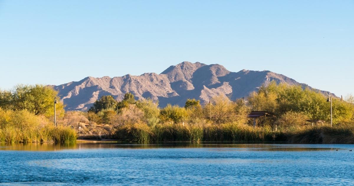
Gilbert's Riparian Preserve is 110 acres of recharge ponds turned into one of the best bird-watching sites in Arizona, and it is the flattest place on this list. The concrete path around Water Ranch Lake is the accessible spine; dirt trails branch off it to circle the seven ponds, so you can go as far as the surface allows and turn back. There is no admission, and the site has restrooms, drinking water, benches, ramadas and viewing blinds. Because the ponds are filled with reclaimed water on a rotation, which pond holds birds changes through the year. | Freesource | 2757 E. Guadalupe Rd, Gilbert, AZ 85234source | Gilbertsource | Wetland and pondssource | Concretesource | Restrooms on sitesource | |
Veterans Oasis is Chandler's 113-acre recharge-basin park, most of it engineered wetland, with a five-acre fishing lake at the centre. The accessible route is the 0.4-mile paved path that rings the lake; the remaining 4.5 miles are groomed dirt and get rougher as they head into the desert sections. The Chandler Nature Center at the park has exhibits and staff, and Desert Rivers Audubon runs free monthly bird walks from November through April. Ramadas are scattered through the park, which matters here because the lake loop is largely unshaded. | Freesource | 4050 E. Chandler Heights Road, Chandler, AZ 85249source | Chandlersource | Wetland and pondssource | Pavedsource | 0.4source | Restrooms on sitesource |
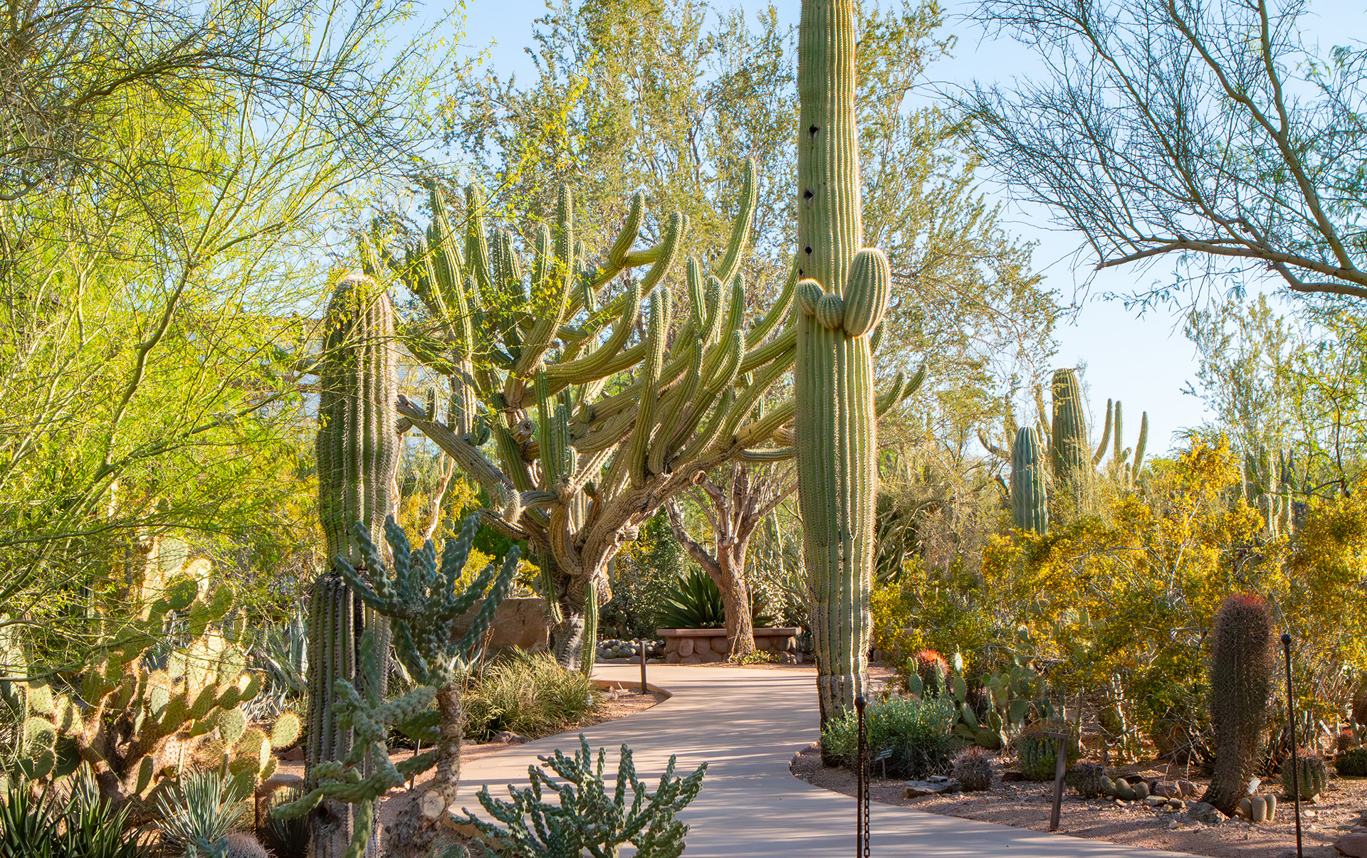
The Desert Botanical Garden is the one paid, fully staffed option here, and the one where accessibility is designed in rather than retrofitted. Five themed trails, paved or hard-packed, wind through more than 50,000 desert plant displays, and the garden lends manual wheelchairs free on a first-come basis, with electric scooters available to rent. That makes it the safest bet if you are unsure whether a desert trail will work for your chair. The catch is price: admission is date-based and climbs steeply out of summer, so check the rate for your visit date rather than trusting a number you read once. | $24.95source | 1201 N. Galvin Parkway, Phoenix, AZ 85008source | Phoenixsource | Botanical gardensource | Mixed surfacessource | Restrooms on sitesource | |
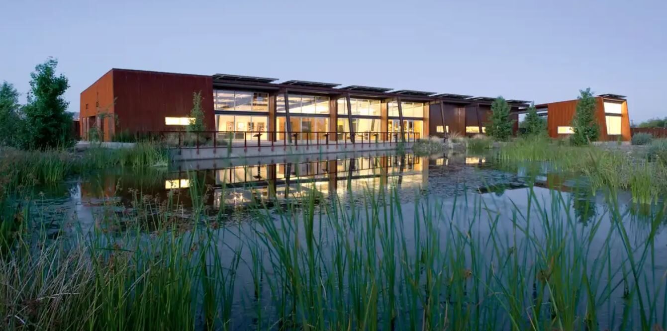
Two miles south of downtown Phoenix, a five-mile stretch of the Salt River bed was replanted into cottonwood and willow habitat, and the asphalt Overbank trails run along the levees on both sides of it. The North Overbank is the longer accessible run at 3.7 miles with no elevation change at all, which makes this the place to go if you want distance rather than a short interpretive loop. The Nina Mason Pulliam Rio Salado Audubon Center is the trailhead: free admission, a wheelchair-accessible visitor centre, bathrooms, and binoculars you can borrow. There is no shade on the levee. | Freesource | 3131 South Central Avenue, Phoenix, AZ 85040source | Phoenixsource | River corridorsource | Pavedsource | 3.7source | Restrooms on sitesource |
South Mountain is one of the largest municipal parks in the country, and the Judith Tunell Accessible Trail is the city's flagship barrier-free desert trail. It is two half-mile loops of stabilized granite starting at the South Mountain Environmental Education Center: the Interpretive Loop, with Braille signage and a maximum grade of 7.5 percent, and the slightly steeper Challenge Loop at 8.5 percent. Both have drinking fountains, benches and covered ramadas spaced for rest stops, and the trail stays open even when the education center is closed. Those grades are the steepest in this set, so it rewards a power chair or a pushing partner. | Freesource | 10919 S. Central Ave, Phoenix, AZ 85042source | Phoenixsource | Desert mountainssource | Stabilized granite or gravelsource | 1source | Restrooms on sitesource |
North Mountain Park sits in the Phoenix Mountains Preserve in the middle of the city, and the Penny Howe Barrier Free Trail is its short paved option: two small loops totalling 0.3 miles with interpretive plant signs. It is the shortest accessible route on this list, which suits a first outing or a hot morning, though parts of it do exceed a 5 percent grade despite the pavement. The parking area is large, paved and has several designated accessible spaces with striped access aisles. Note that the restroom at the old ranger station is permanently closed; the working ones are out by the ramadas. | 10608 N. 7th St, Phoenix, AZ 85020source | Phoenixsource | Desert mountainssource | Pavedsource | 0.3source | Restrooms on sitesource | |
The Phoenix Sonoran Preserve covers more than 9,600 acres of north-valley desert, and the two Skip Rimsza Paseos are its concrete accessible paths, reached from the Apache Wash Trailhead. The East paseo runs 1.9 miles with a 37-foot elevation change; the West is longer. Both are smooth, wide and close to level, so they suit a long roll rather than a short interpretive stroll, and the desert around them is genuinely wild. Two caveats: the paseos parallel Sonoran Desert Drive, so traffic noise is constant, and the trailhead has vault toilets but no drinking water. | 1600 E. Sonoran Desert Dr, Phoenix, AZ 85085source | Phoenixsource | Sonoran desertsource | Concretesource | 1.9source | Vault toilets onlysource | |
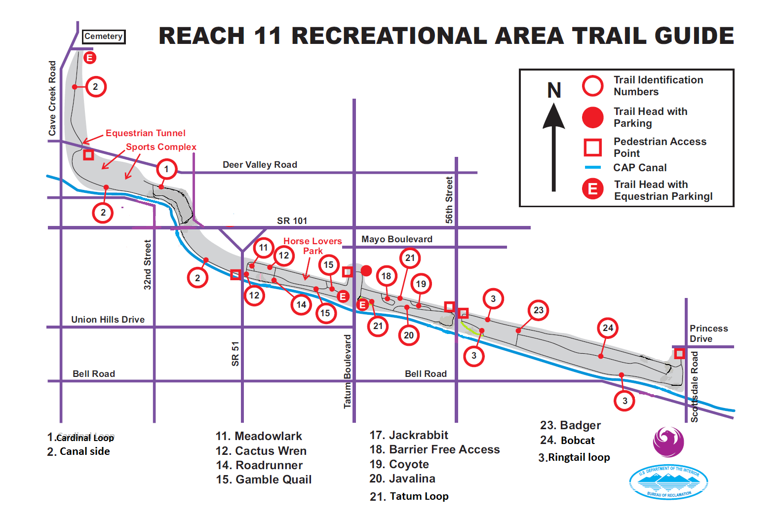
Reach 11 is a narrow, seven-mile greenbelt running along the north side of the Central Arizona Project canal, and it is the closest accessible desert trail to central Scottsdale. The Barrier Free Access Nature Trail is a partly paved 0.75-mile interpretive loop through mesquite and palo verde bosque, the kind of xeroriparian habitat that pulls in more birds than open desert does. Bicycles and horses are barred from it, so it stays quiet. Parking is a small lot off Tatum with two van-accessible spaces, and parts of the trail do exceed a 5 percent grade. | 19226 N. Tatum Blvd, Phoenix, AZ 85050source | Phoenixsource | Sonoran desertsource | Mixed surfacessource | 0.75source | ||
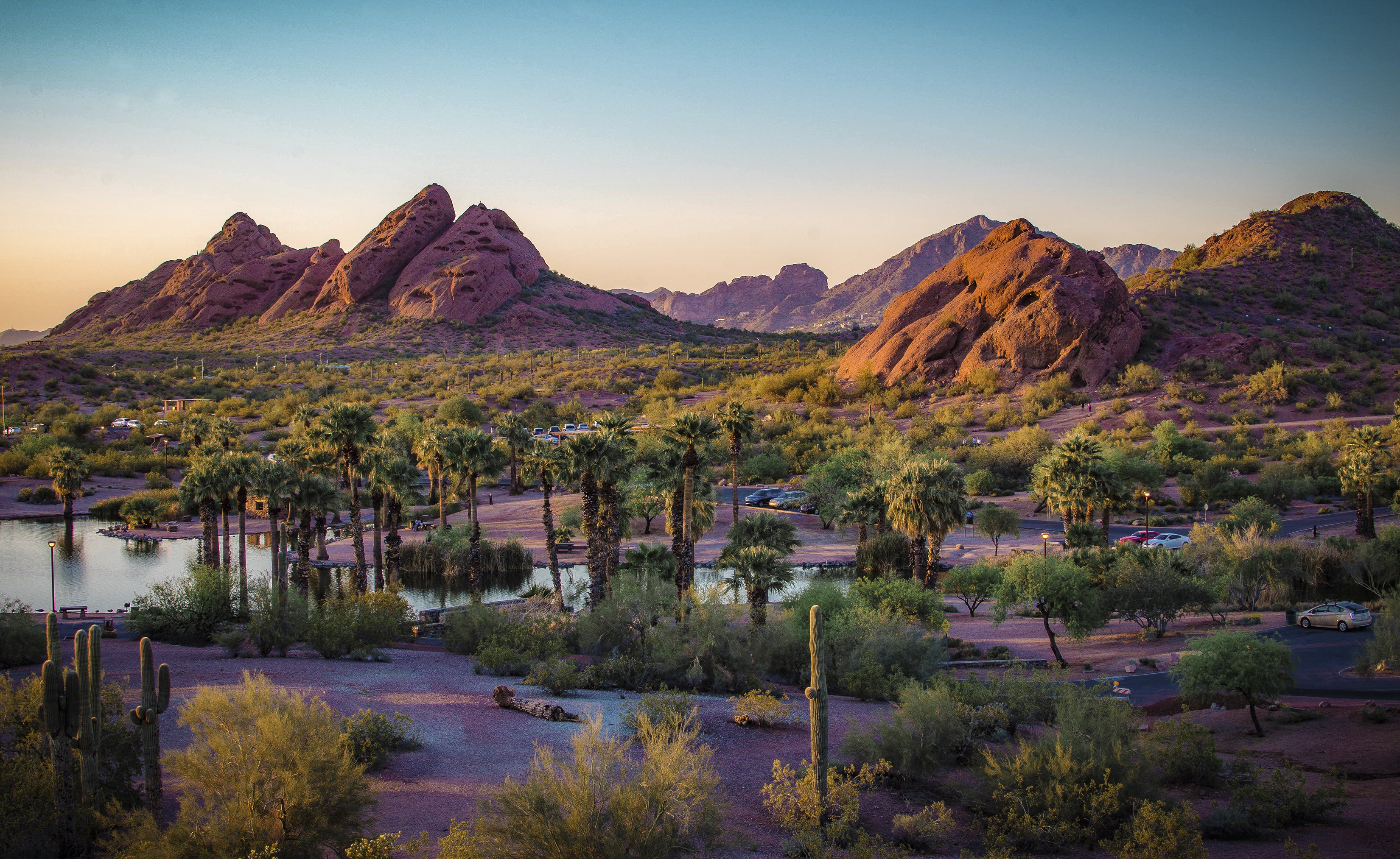
Papago Park is the red-sandstone butte country between Phoenix, Scottsdale and Tempe, and it doubles as the setting for the Desert Botanical Garden and the Phoenix Zoo. Two of its routes are listed by the city as wheelchair accessible: the 2.7-mile Elliot Ramada Loop, a mix of paved roadway and dirt in Papago West Park, and the 1.4-mile Crosscut Canal Path along the flat concrete and dirt canal banks. Neither is a purpose-built barrier-free trail, so surfaces vary along the way. The Papago Park Visitor Center has public restrooms, and the buttes are close enough to the parking areas to see without a long push. | Freesource | 625 N. Galvin Parkway, Phoenix, AZ 85008source | Phoenixsource | Desert buttessource | Mixed surfacessource | 2.7source | Restrooms on sitesource |
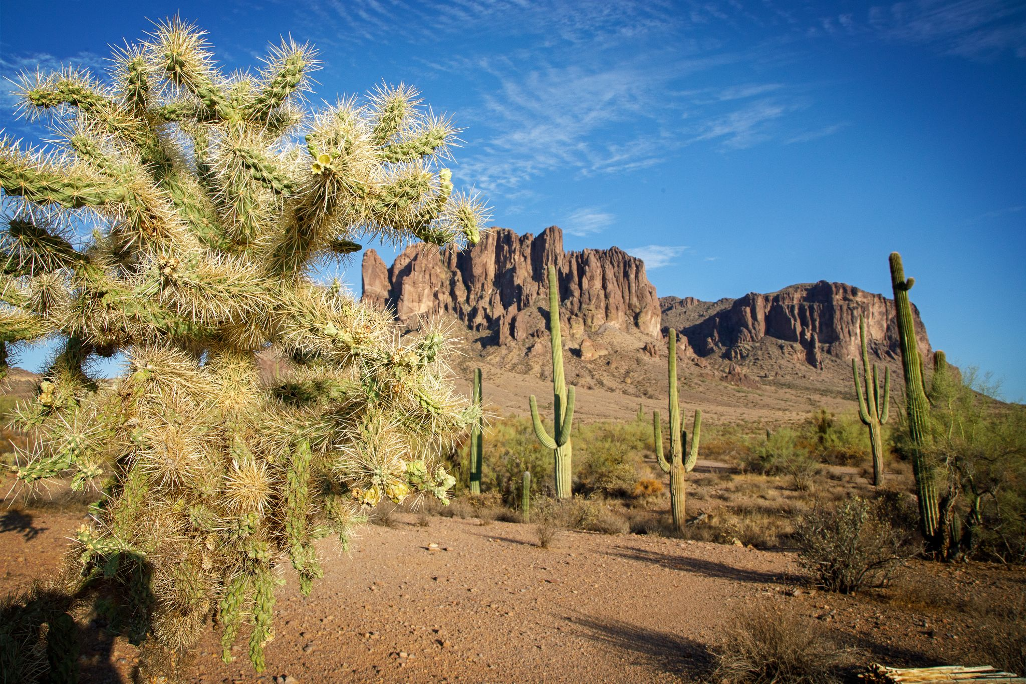
Lost Dutchman is the farthest drive here, about 40 miles east of Scottsdale, and the reward is standing directly under the Superstition Mountains. The accessible piece is the Native Plant Trail, a paved quarter-mile loop starting beside the visitor center, with cholla, prickly pear and ocotillo labelled along the way including pronunciations. It is short, and it is the only state park on this list, so it charges a per-vehicle entrance fee rather than admitting you free. In a wet spring the wildflower bloom here is the best in the east valley. | $20source | 6109 N. Apache Trail, Apache Junction, AZ 85119source | Apache Junctionsource | Desert mountainssource | Pavedsource | 0.25source | Restrooms on sitesource |